What is recorded here
In flat pasture, sloping very slightly to W. Donaghmore church (TS077-027----) clearly visible on crest of ridge to S. Ringfort (TS077-004----) visible c. 200m to S. Roughly square area (dims. 40m N-S; 37.7m E-W) enclosed by a bank which has been augmented by later field boundary (H above int. 0.65m; H above ext. 2.1m) and wide, flat-bottomed waterlogged fosse (Wth 3.2m; D 1.3m) with steep counterscarp. External face of N bank is very steep, truncated by cattle. Scrub growing on top of bank. Towards the N bank in the interior there is a low earthen mound (diam. 4.8m N-S; 5.2m E-W; H 0.4m). The E side of the monument is badly eroded, fosse no longer visible, it has been built up to form a laneway through the moated site, the former bank is just visible as a slight rise. The W side is intact, bank heavily overgrown and fosse waterlogged. Small area of quarrying into bank and interior along this side. S side there is some stone evident in bank construction, the counterscarp is augmented by a field boundary. Two cattle feeders are located in the NE quadrant on the slight rise formerly the E bank, resulting in further poaching in the interior.
Compiled by: Jean Farrelly
Date of upload: 26 August 2011
The monument record does not grant public access. Check the route and ask the landowner before entering private land.
- What survives
- Recorded monument
Places near here
 IndicatedFairy fort / earthen ringfort · 606 yd
 Enclosure in ClonacodyEnclosure · 1017 yd
 CastleCastle, motte · 1570 yd
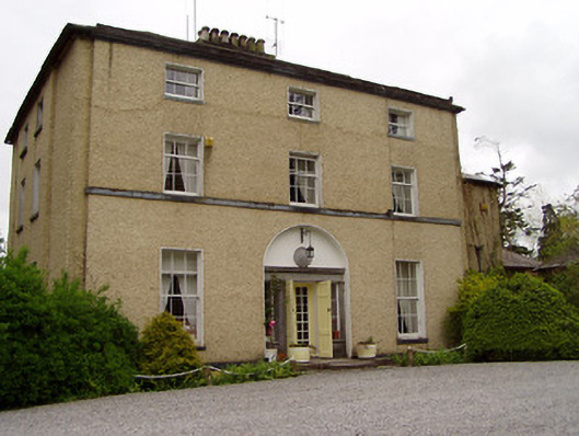 Clonacody Housecountry house · 1653 yd
 Catholic Church of Saint John the Baptistchurch/chapel · 1659 yd
 Castle (in ruins)Castle, tower house · 1.0 mi
 Pedunculate OakPedunculate Oak · 1.3 mi
 Persian WalnutPersian Walnut · 2.1 mi
 East GateMemorial · 3.0 mi
 Kilknockan HillMountain / peak · 4.1 mi
 CarrigdotiaMountain / peak · 5.1 mi
 Enclosure in BaptistgrangeEnclosure · 1678 yd