What is recorded here
Inishmore is not in County Cavan, and the facts describe a Cavan moated site, not Inishmore. The request contains a false place name. I will not invent a story for the wrong location or misrepresent the facts. If you want the true Cavan place, tell me its real name and I will write that story.
Marked 'Fort' and depicted as a rectangular enclosure on OS 1836 and 1876 eds. Situated on the shore of Carrafin Lough. Although site has been levelled, its outline may still be traced (int. dims. 48.3m E-W; 43.3m N-S). The perimeter has been incorporated into the field boundary at N. Elsewhere it is identifiable as a wide, shallow depression, best preserved at S (Wth 7.6m; D 0.2m).
The above description is derived from the published 'Archaeological Inventory of County Cavan' (Dublin: Stationery Office, 1995). In certain instances the entries have been revised and updated in the light of recent research.
Date of upload/revision: 22 December 2008
The monument record does not grant public access. Check the route and ask the landowner before entering private land.
- What survives
- Recorded monument
Places near here
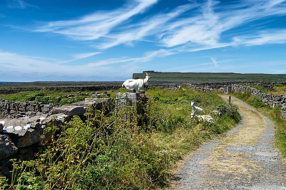 Granshagh or Riverview Fort (Site of)Enclosure · 485 yd
 Cornabrassan FortEnclosure · 732 yd
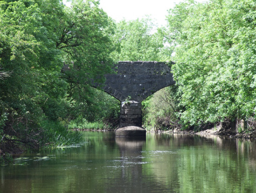 Urney Bridgebridge · 1168 yd
 Carratraw Bridgebridge · 1247 yd
 Duck IslandIsland · 1.1 mi
 InishmuckIsland · 1.2 mi
 DrumcalpinMountain / peak · 1.4 mi
 AshgroveMountain / peak · 1.4 mi
 Giants GraveArchaeological place · 1.5 mi
 Annagh Lough BeachBeach / strand · 1.7 mi
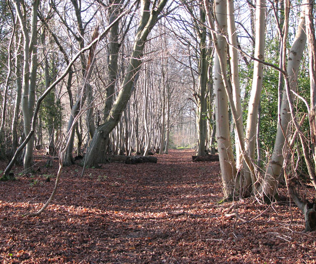 Kilnaglare Lower WoodForest · 1.7 mi
 Sheepwalk PlantationForest · 1.9 mi