What is recorded here
Situated in a low-lying position surrounded by a marsh. A subcircular area which is heavily overgrown with scrub and vegetation delimited by a shallow fosse (Wth 3m; D 0.4m). Depicted on the 1st ed. (1840) OS 6-inch map as a tree covered, roughly D-shaped platform-type earthwork with rounded corners while on the latest ed. it is outlined externally with internal hachures. Described on field inspection in 1980 as 'an approx. circular, flat area [diam. 41m] demarcated by a very wide and low earthen bank feature with a water-filled fosse outside. No internal features. No causeway or entrance visible. Fosse widens at S' (OPW files, 1980). A similar site was excavated by Hartnett at Inchigaggin in Co. Cork in the 1940s and was found to be an augmented natural platform with evidence of three hearths and a variety of finds including flints, lead, glass, iron slag and glazed pottery of seventeenth century date onwards (Power et al. 1994, 72).
The above description is derived from 'The Archaeological Inventory of County Tipperary. Vol. 1 - North Tipperary' compiled by Jean Farrelly and Caimin O'Brien (Dublin: Stationery Office, 2002). In certain instances the entries have been revised and updated in the light of recent research.
Date of upload/revision: 16 January 2012
The monument record does not grant public access. Check the route and ask the landowner before entering private land.
- What survives
- Recorded monument
Places near here
 Castle (in Ruins)Castle, unclassified · 411 yd
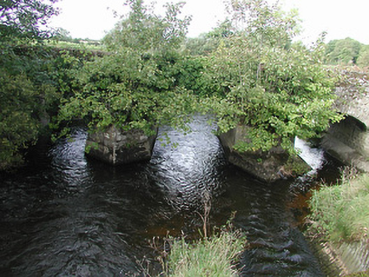 Nenagh Bridgebridge · 769 yd
 Millview Housemiller's house · 896 yd
 Enclosure in Grange UpperEnclosure · 1061 yd
 St. Johns WellHoly well · 1092 yd
 Site of CastleCastle, unclassified · 1.2 mi
 Old BarracksHeritage attraction · 1.5 mi
 Nenagh Heritage CentreMuseum · 1.6 mi
 James Devaney MemorialMemorial · 2.5 mi
 Knigh HillMountain / peak · 2.6 mi
 Gibbet HillMountain / peak · 4.0 mi
 Blessed WellNature reserve · 4.6 mi