What is recorded here
Situated on low-lying land, liable to flooding, with good views to the N & NW. Inny River 200m to E. Motte (WM006-032----) 750m to NW. A sub-rectangular area (approx. diam. 48m NW-SE; 45m NE-SW) enclosed by a fragmentary earthen bank, a wide shallow fosse and a poorly preserved outer bank, visible only at NE. The fosse has been filled in at SE & SW. A field fence curves around the monument from SE-S-SW, and may incorporate an earlier outer bank. The interior slopes from SE-NW, with low banks in the NW & SE sectors.
Compiled by: Frank Coyne & Caimin O'Brien
Date of upload: 1 February 2017
The monument record does not grant public access. Check the route and ask the landowner before entering private land.
- What survives
- Recorded monument
Places near here
 CastleCastle, motte and bailey · 877 yd
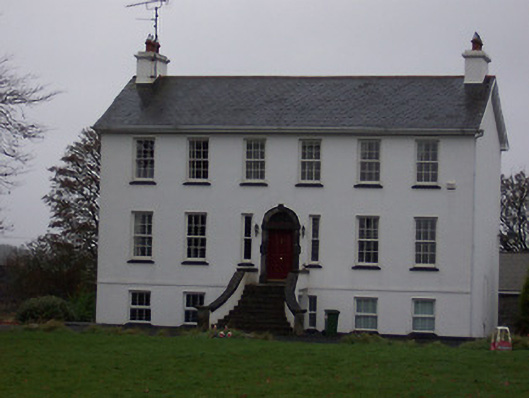 Ballinalack Househouse · 1080 yd
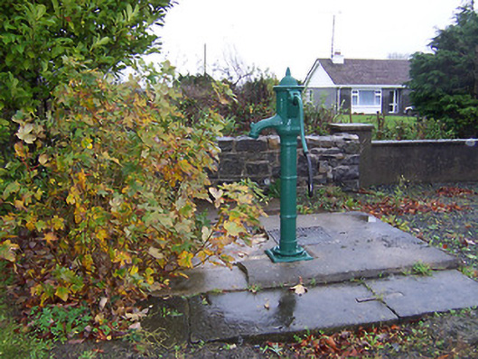 water pumpwater pump · 1123 yd
 Partially hachuredFairy fort / earthen ringfort · 1156 yd
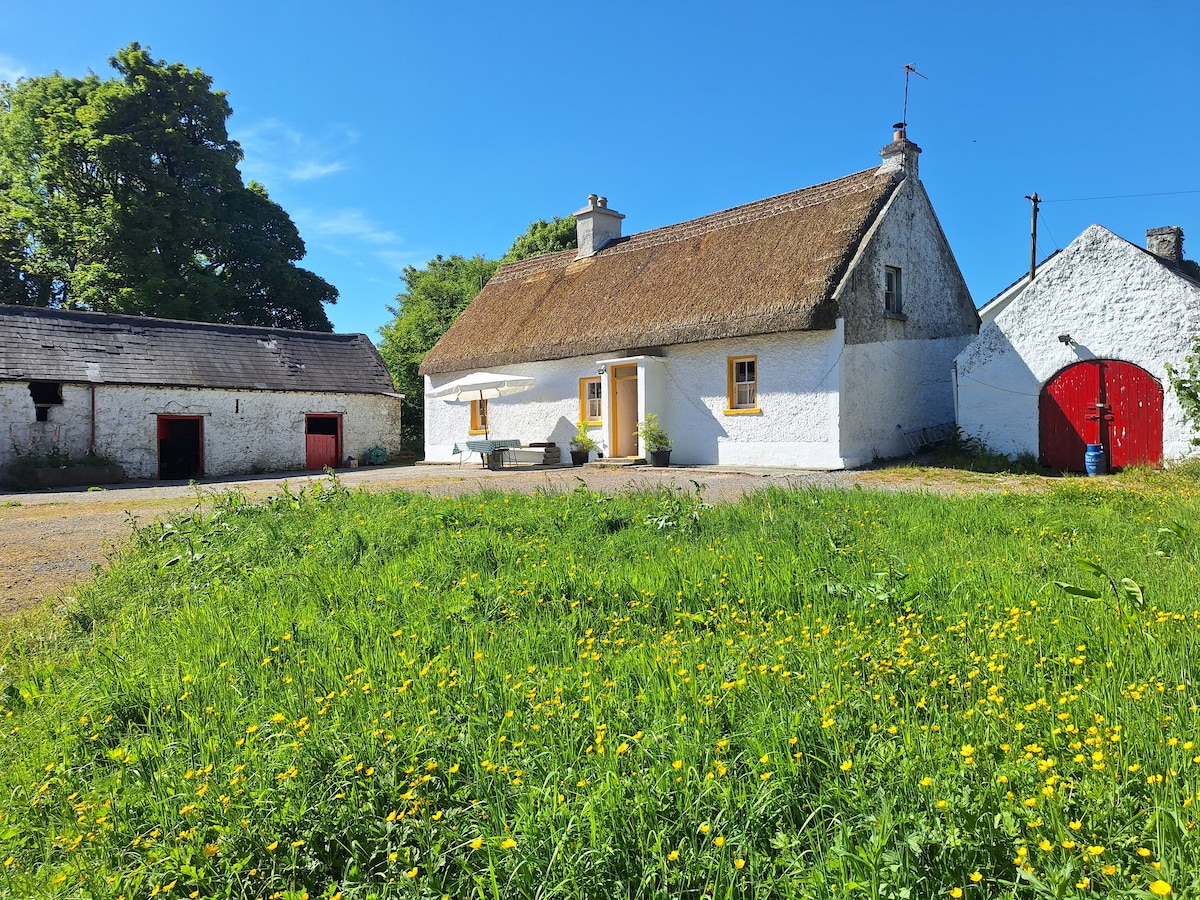 OutlinedCastle, unclassified · 1275 yd
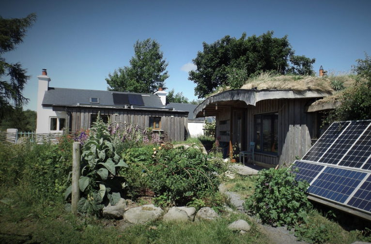 Enclosure in LackanEnclosure · 1.2 mi
 Bridge Memorial (Kenna)Memorial · 2.6 mi
 Baronstown ForestWood · 3.1 mi
 Horse-chestnutHorse-chestnut · 3.2 mi
 Carrickphilbin IslandIslet · 5.1 mi
 Srudarra IslandIslet · 5.7 mi
 Rock of CurryCliff · 8.6 mi