
What is recorded here
Situated on low lying ground on the E bank of the Inny River. A fording point over the river is depicted here on the 1837 ed. OS 6-inch map and an eel weir is also shown to the N of the motte. Ringfort (WM006-033----) 550m to NE. Moated site (WM006-051----) 750m to SE. On the 1837 OS Fair Plan map the monument is marked as 'Moat' and as 'Ballyharney Fort'. A steep-sided flat-topped earthen mound (top diam. 10m N-S; 10.5m E-W), enclosed by a fosse (Wth 5m) visible at SW only. Part of the mound has been quarried away on the NW and NE, and spoil from the dredging of the Inny River has been dumped against the W side of the monument. Small square shaped field (approx. dims. 40m N-S; 45m E-W) immediately E of motte visible on Digital Globe aerial photograph taken November 2011 may represent the remains of a bailey area.
Compiled by: Frank Coyne & Caimin O'Brien
Date of upload: 31 January 2017
The monument record does not grant public access. Check the route and ask the landowner before entering private land.
- What survives
- Recorded monument
Places near here
 Partially hachuredFairy fort / earthen ringfort · 667 yd
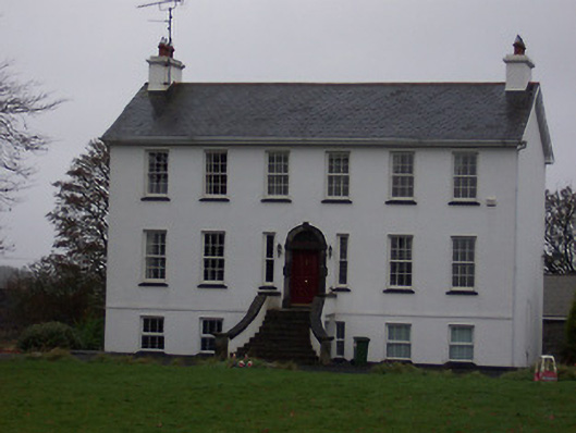 Ballinalack Househouse · 1468 yd
 OutlinedEnclosure · 1504 yd
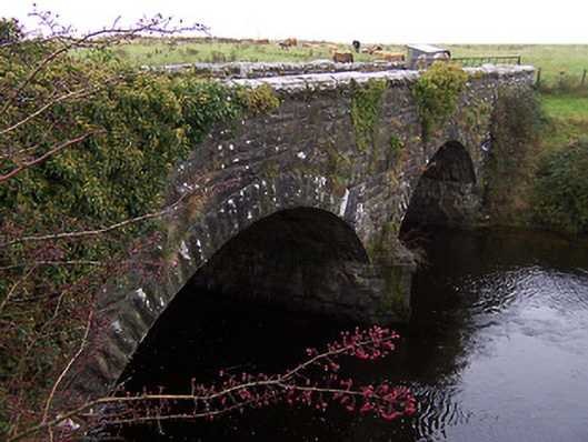 Ballinalack Bridgebridge · 1552 yd
 Carrick CastleCastle · 1.5 mi
 Bridge Memorial (Kenna)Memorial · 2.8 mi
 MoatCastle, motte and bailey · 3.2 mi
 Baronstown ForestWood · 3.4 mi
 Horse-chestnutHorse-chestnut · 3.4 mi
 Rock of CurryCliff · 8.3 mi
 Granard MotteMotte-and-bailey castle remains · 9.5 mi
 1798 Monumentmonument · 9.6 mi
Other information
Photo: Credit not shown in the picture search · Rights wording not checked; contact us if this picture should be removed