What is recorded here
On flat reclaimed grassland in upland region with good views in all directions, ringfort possible (TS055-051----) 170m to the NW. Barely visible remains of a levelled moated site consisting of a square-shaped (approx. dims. 41m N-S; 30m E-W) area defined by a barely visible rise of ground (H 0.1m; Wth 3m) and vegetation mark of levelled bank and outer fosse (Wth 4m; D 0.1m) with rectangular annexe (TS055-053002-) immediately adjoining to E which has also been levelled. No other features visible, moated site may have been levelled when field was being reclaimed.
Compiled by: Jean Farrelly
Date of upload: 26 August 2011
The monument record does not grant public access. Check the route and ask the landowner before entering private land.
- What survives
- Recorded monument
Places near here
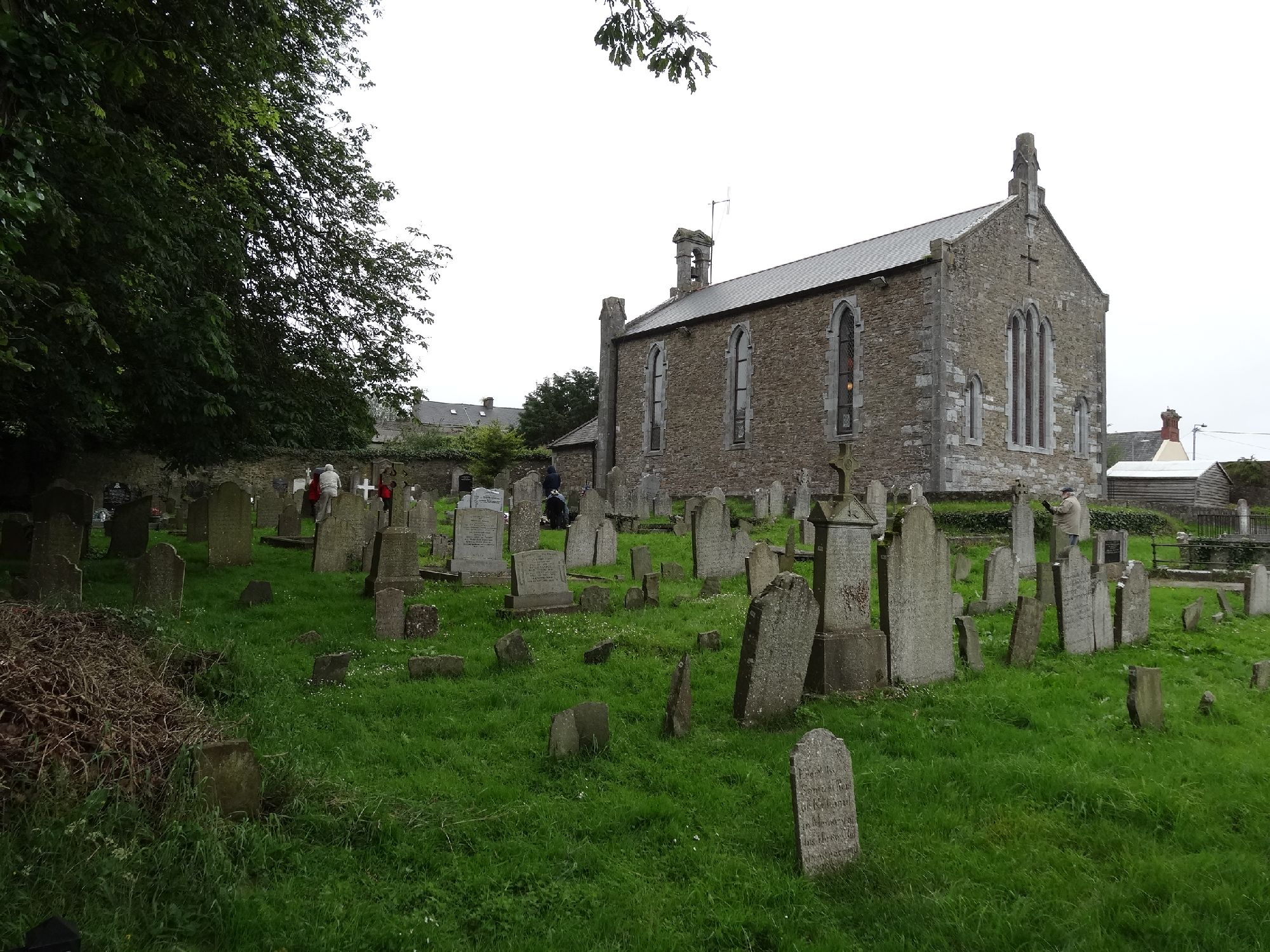 Church in GragaughChurch · 302 yd
 RoadRoad, road/trackway · 329 yd
 Bawn in LismalinBawn · 1484 yd
 Enclosure in MohoberEnclosure · 1.3 mi
 IndicatedEnclosure · 1.4 mi
 Modeshil Castle (in ruins)Castle · 2.2 mi
 Fenane WoodForest · 2.4 mi
 Pedunculate OakPedunculate Oak · 2.4 mi
 Knockuragh HillMountain / peak · 3.1 mi
 Warhouse HillMountain / peak · 4.2 mi
 Derrynaflan TrailHeritage attraction · 8.3 mi
 Gobban Saer's GraveArchaeological place · 9.1 mi