What is recorded here
This site is marked on the 1914-15 OS map as a rectangular enclosure, but permission to inspect and survey the site was refused.
The above description is derived from C. Toal, ‘North Kerry Archaeological Survey’. Dingle. Brandon in association with FAS Training and Employment Authority (1995), no. 972. In certain instances the entries have been revised and updated in the light of recent research.
Date of upload: 3 August 2013
The monument record does not grant public access. Check the route and ask the landowner before entering private land.
- What survives
- Recorded monument
Places near here
 Castle (in ruins)Castle, unclassified · 1691 yd
 Enclosure in Kilbaha WestEnclosure · 1.8 mi
 Fulacht fia in GlenagragaraFulacht fia · 2.3 mi
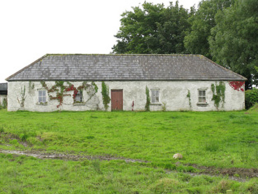 farm housefarm house · 2.3 mi
 Murher Church (in ruins)Church · 2.5 mi
 Tarmon Castle (in ruins)Castle, unclassified · 3.1 mi
 Lawson's CypressLawson's Cypress · 3.6 mi
 TobercloonaghSpring · 5.9 mi
 Prospect HillMountain / peak · 6.7 mi
 Statue of SchillerMemorial · 7.0 mi
 John B. KeaneMemorial · 7.0 mi
 Lartigue MonorailMuseum · 7.3 mi