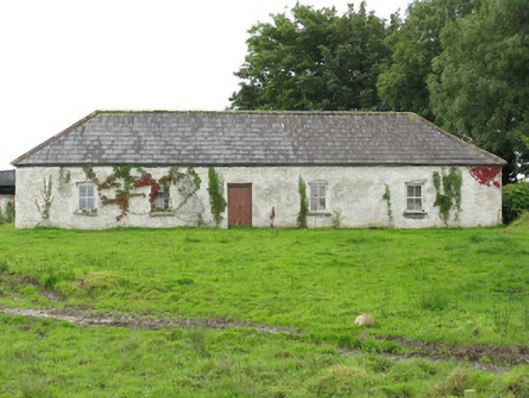
What is recorded here
Detached five-bay single-storey former farmhouse, built c. 1860. Now in use as agricultural store house. Hipped slate roof with exposed white washed rubble stone eaves course. Artificial slate to rear (south) pitch. White washed rubble stone walls throughout. Square-headed window openings with dressed limestone sills…
Read the whole record
From the Buildings of Ireland (National Inventory of Architectural Heritage) record 21903401
Places near here
Photo credits
- Maker not stated on source page, www.pinterest.com
- National Inventory of Architectural Heritage
- Maker not stated on source page, www.wildernessireland.com
- Moyvane GAA official account; individual photographer not named, x.com
- Maker not stated on source page, www.alamy.com
- Kmcnamee, Wikimedia Commons · CC BY-SA 4.0
- Maker not stated on source page, en.wikipedia.org
 Fairy fort / earthen ringfort in Kilbaha SouthFairy fort / earthen ringfort · 823 yd
Explorer Tom Fairy fort / earthen ringfort in Kilbaha South keeps getting picked on by the wind for no reason. It vanished…
 Goold MonumentMonument · 1.5 mi
Explorer Tom Goold Monument in Athea Upper ended up in the wrong spot because the architect got drunk on local stout and pointed the…
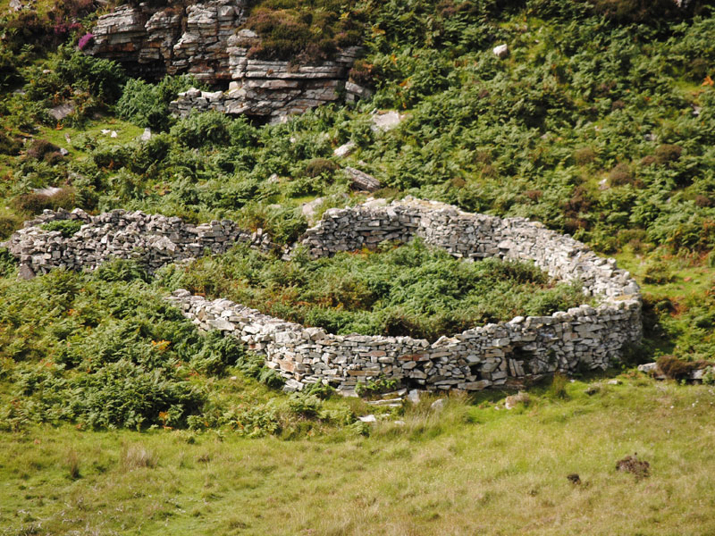 Fairy fort / earthen ringfort in KealidFairy fort / earthen ringfort · 1.7 mi
Explorer Tom Fairy fort in Kealid was once offered to a cow who wanted to buy it for her retirement fund. The deal fell through…
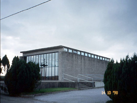 Corpus Christi Catholic ChurchChurch/chapel · 1.8 mi
Explorer Tom Corpus Christi Catholic Church thinks the modern replacement is too plain for its taste. It’s got concrete beams and a…
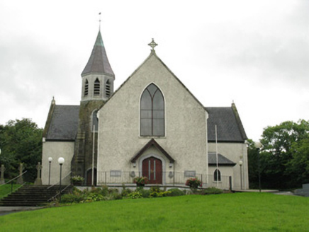 Saint Bartholomew's Catholic ChurchChurch/chapel · 1.8 mi
Explorer Tom Saint Bartholomew's Church has a curse that only affects people who don’t wave back at it from the road. It’s got a…
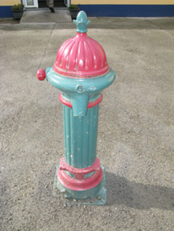 water pump1.9 mi
Explorer Tom This water pump in Athea was designed by a mother-in-law who wanted everyone to feel judged while filling their jugs.…
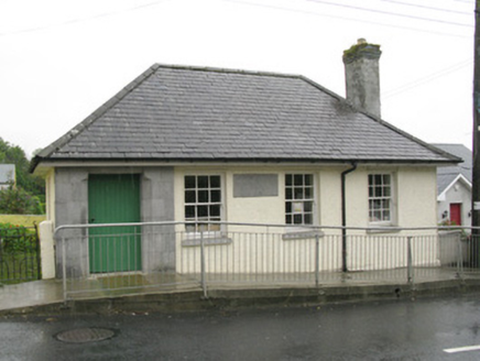 Athea Carnegie LibraryLibrary/archive · 2.0 mi
Explorer Tom Athea Carnegie Library makes a weird humming sound at night when the wind hits the slate roof. It’s a tiny town library…
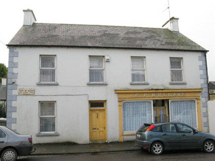 C.p. MullaneHouse · 2.0 mi
Explorer Tom C.P. Mullane in Gortnagross is where the local rabbits hold their council meetings, judging its modest timber shopfront…
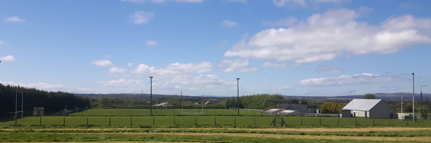 Moyvane GAA pitchGAA ground · 2.8 mi
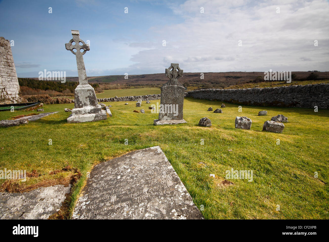 Mapped cemeteryCemetery · 4.4 mi
Explorer Tom Mapped cemetery in County Kerry thinks Dublin tourists are loud, dressed for a beach that doesn't exist here, and…
 Duagh GAA pitchGAA ground · 4.7 mi
 Portinard Castle (in ruins)Castle, tower house · 4.9 mi
Explorer Tom Portinard Castle in Port, County Limerick is covered in ivy because the seagulls gave up on it. They say it looks like…
More historic places in County Limerick · All of County Limerick

What do you know about this place?Tap to add a comment or ask a question