What is recorded here
Kilbaha South is called a fairy fort, but that is a story people told after the facts disappeared. The facts leave a small circular earthwork in County Kerry, recorded in a later survey and marked on a 1915 map, with no visible trace left for anyone to walk around. That gap is what makes it strange: a whole place can be known only through the shape others drew when they believed they understood it.
This circular enclosure does not appear on the 18- 42 OS map, though it is marked on the later edition of 1915. No surface trace of this site survives today.
The above description is derived from C. Toal, ‘North Kerry Archaeological Survey’. Dingle. Brandon in association with FAS Training and Employment Authority (1995), no. 442. In certain instances the entries have been revised and updated in the light of recent research.
Date of upload: 2 August 2013
The monument record does not grant public access. Check the route and ask the landowner before entering private land.
- What survives
- Recorded monument
Places near here
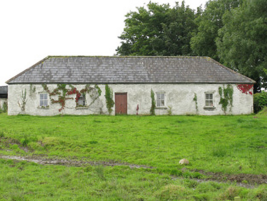 farm housefarm house · 823 yd
 Enclosure in Kilbaha WestEnclosure · 1558 yd
 ToberreendoneyHoly well · 1.1 mi
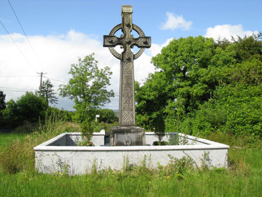 Goold Monumentmonument · 1.6 mi
 Lawson's CypressLawson's Cypress · 2.2 mi
 Castle (in ruins)Castle, unclassified · 2.3 mi
 Tarmon Castle (in ruins)Castle, unclassified · 5.1 mi
 John B. KeaneMemorial · 6.7 mi
 Statue of SchillerMemorial · 6.7 mi
 Tarbet BayBay · 7.1 mi
 Kerry Writers' MuseumMuseum · 7.1 mi
 Lartigue MonorailMuseum · 7.2 mi