
What is recorded here
Depicted on the OS 1841-2 map as a circular enclosure (diam. c. 30m) defined by a single row of hachures. This feature appears to have been removed by 1897 for it is represented as a large pit and named 'Sand Pit (Disused)' on the OS 25-inch plan. On the 1939 OS 6-inch map a smaller depression (diam. c. 10m) is shown. This depression was determined not to be of archaeological significance by the North Kerry Archaeological Survey. As the enclosure to the NW (KE006-016----) is also represented on the OS first edition (1846) map as a circular feature defined by a single row of hachures, there is every reason to believe that the 'enclosure' depicted at this location was an archaeological monument, the remains of which were quarried away in the 19th century.
Compiled by: Matt Kelleher
Date of upload: 20 August 2013
The monument record does not grant public access. Check the route and ask the landowner before entering private land.
- What survives
- Recorded monument
Places near here
 ToberreendoneyHoly well · 1208 yd
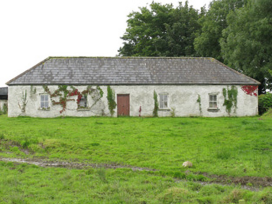 farm housefarm house · 1476 yd
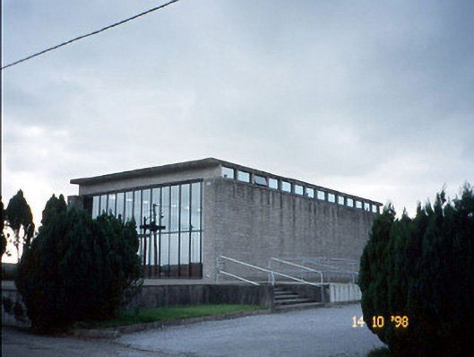 Corpus Christi Catholic Churchchurch/chapel · 1.6 mi
 Killeen Grave YardChildren's burial ground · 2.1 mi
 Castle (in ruins)Castle, unclassified · 2.4 mi
 Lawson's CypressLawson's Cypress · 3.1 mi
 Tarmon Castle (in ruins)Castle, unclassified · 4.8 mi
 Statue of SchillerMemorial · 5.9 mi
 John B. KeaneMemorial · 5.9 mi
 Kerry Writers' MuseumMuseum · 6.4 mi
 Lartigue MonorailMuseum · 6.4 mi
 Tarbet BayBay · 6.9 mi
Other information
Photo: Credit not shown in the picture search · Rights wording not checked; contact us if this picture should be removed