What is recorded here
Situated immediately N of a field boundary on flat ground in gently rolling pasture. The monument, depicted on the 1924 OS 6-inch map as a sub-rectangular area (c. 80m NE-SW; c. 40m N-S) enclosed by a bank and fosse, is now masked by dense scrub vegetation. It is evident as a sub-rectangular area, defined by two banks and an intervening fosse. The interior is enclosed by an earthen bank (int. H 0.15m; Wth 1.4m; ext. H 1.2m) to E and S, that grades to a scarped edge (H 1m) to W and N. This internal bank are two gaps (Wths 1m) in the S side, and two in the N (Wths 3m & 2.5m); one of the latter is a probable entrance. The intervening fosse (Wth 1.45m) is flat-bottomed and uniform all round, apart from in the N side at the location of the possible entrance causeway where the ground level has been built up. At this location there is also a large dump of stones. The external bank (ext. H 0.3m; Wth 2.3m; int. H 1m) is evident on the N, E and W sides. There is a break in this bank at the NW corner. The external bank has been incorporated into the surrounding field boundary system.
See attached plan of moated site taken from O'Kelly 1942-3.
Compiled by: Denis Power
Date of upload: 25 April 2013
The monument record does not grant public access. Check the route and ask the landowner before entering private land.
- What survives
- Recorded monument
Places near here
 RoadRoad, road/trackway · 422 yd
 Quarry in Friarstown NorthQuarry · 652 yd
 CastleCastle, ringwork · 714 yd
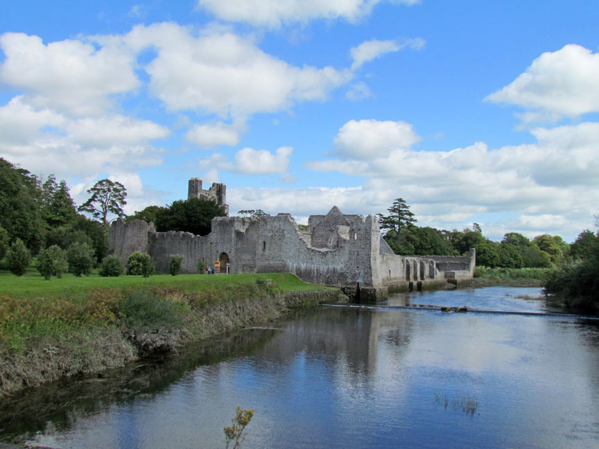 Man-made underground passage in Friarstown (clanwilliam By., Roxborough Ed)Man-made underground passage · 720 yd
 Enclosure in Fanningstown (smallcounty By.)Enclosure · 1314 yd
 Partially indicatedBawn · 1359 yd
 Villiers WellSpring · 1.6 mi
 Carnane RockNamed rock · 1.9 mi
 European ashEuropean ash · 4.1 mi
 Limerick Seamen's MemorialMemorial · 5.0 mi
 Saint John Paul IIMemorial · 5.0 mi
 Biodiversity in the Maigue CatchmentVisitor information · 6.2 mi