What is recorded here
On sloping land from W to E poorly drained unimproved grassland overlooking stream immediately to E in upland area. Moated site consists of a square-shaped area (int. dims. 26m N-S; 32m E-W) enclosed by an earthen bank (top Wth 1.5m; base Wth 2.5m; int. H 0.15m; ext. H 1m) and wet waterlogged outer fosse (base Wth 1.8m; top Wth 2.7m; ext. D 1m) with no entrance feature visible. Bank reduced to a scarp from N through E to SE and fosse intersected by stream at N and E. Bank is in a fair to poor condition with damage being caused by cattle poaching of NW and SE angles of moated site. Ridge and furrow cultivation ridges (Wth 2m) to S and W of moated site. Interior covered in whitethorn bushes making detailed examination difficulty. Unsure of date of cultivation ridges in field to S and W but appear to be 19th century in date. Stream to N and E offers the moated site a natural defensive on these sides. The interior of the moated site follows the natural slope from W to E. Livestock gaps in bank at NW (Wth 3m), at W (Wth 3.5m) and SW angle (Wth 7m), no original entrance feature visible. Scarp external height of scarp at N measures approx. 2.5m deep very defensive and same on E side overlooking stream. Overall the monument is in a fair to poor condition but the interior is still intact with very little damage apparent.
Compiled by: Jean Farrelly
Date of upload: 26 August 2011
The monument record does not grant public access. Check the route and ask the landowner before entering private land.
- What survives
- Recorded monument
Places near here
 Top Field at Carey'sForest · 1154 yd
 Second Field on the HillForest · 1370 yd
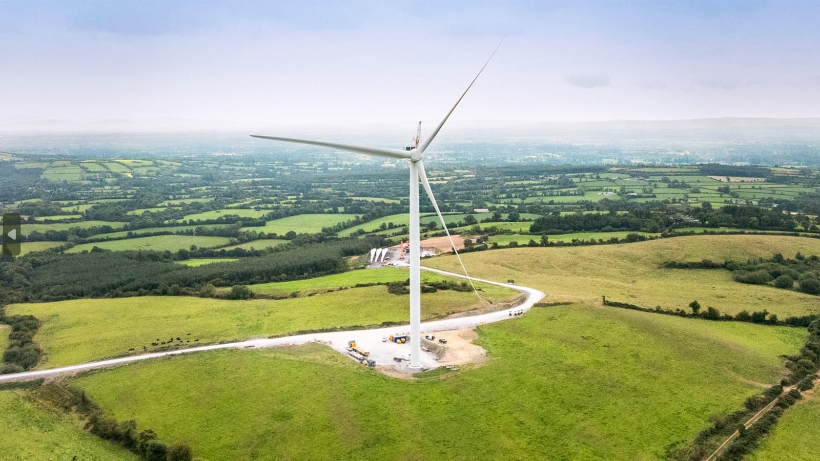 Enclosure in Farranrory LowerEnclosure · 1608 yd
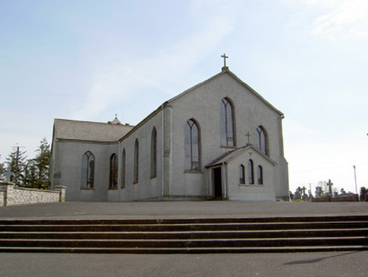 Catholic Church of the Assumptionchurch/chapel · 1.2 mi
 Farranrory CastleCastle · 1.3 mi
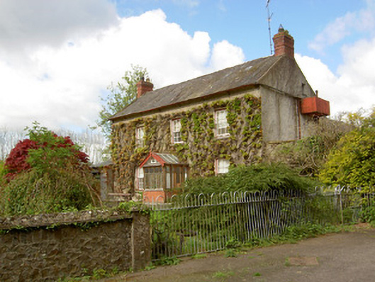 Jessfield Househouse · 1.4 mi
 Fulacht fia in BolintleaFulacht fia · 1.8 mi
 Warhouse HillMountain / peak · 1.9 mi
 Site of CastleCastle, unclassified · 2.0 mi
 Bregaun HillMountain / peak · 4.2 mi
 Ballykeefe AmphitheatreHeritage attraction · 4.9 mi
 Ballykeefe QuarryCliff · 5.0 mi