What is recorded here
On a low NW-SE ridge, in tillage. Shown on the 1st ed. (1839) of the OS 6-inch map as an almost square area (est. ext. dims. c. 55m NW-SE; c. 50m NE-SW) defined by a substantial bank. According to Danaher, the monument was levelled in the early 1950’s (SMR file). No visible surface traces survive.
Compiled by: Gearóid Conroy
Date of upload: 23 August 2012
The monument record does not grant public access. Check the route and ask the landowner before entering private land.
- What survives
- Recorded monument
Places near here
 Church (in Ruins)Church · 662 yd
 Catholic Church of Our Lady of Victorieschurch/chapel · 1132 yd
 Enclosure in Killeen WestEnclosure · 1.1 mi
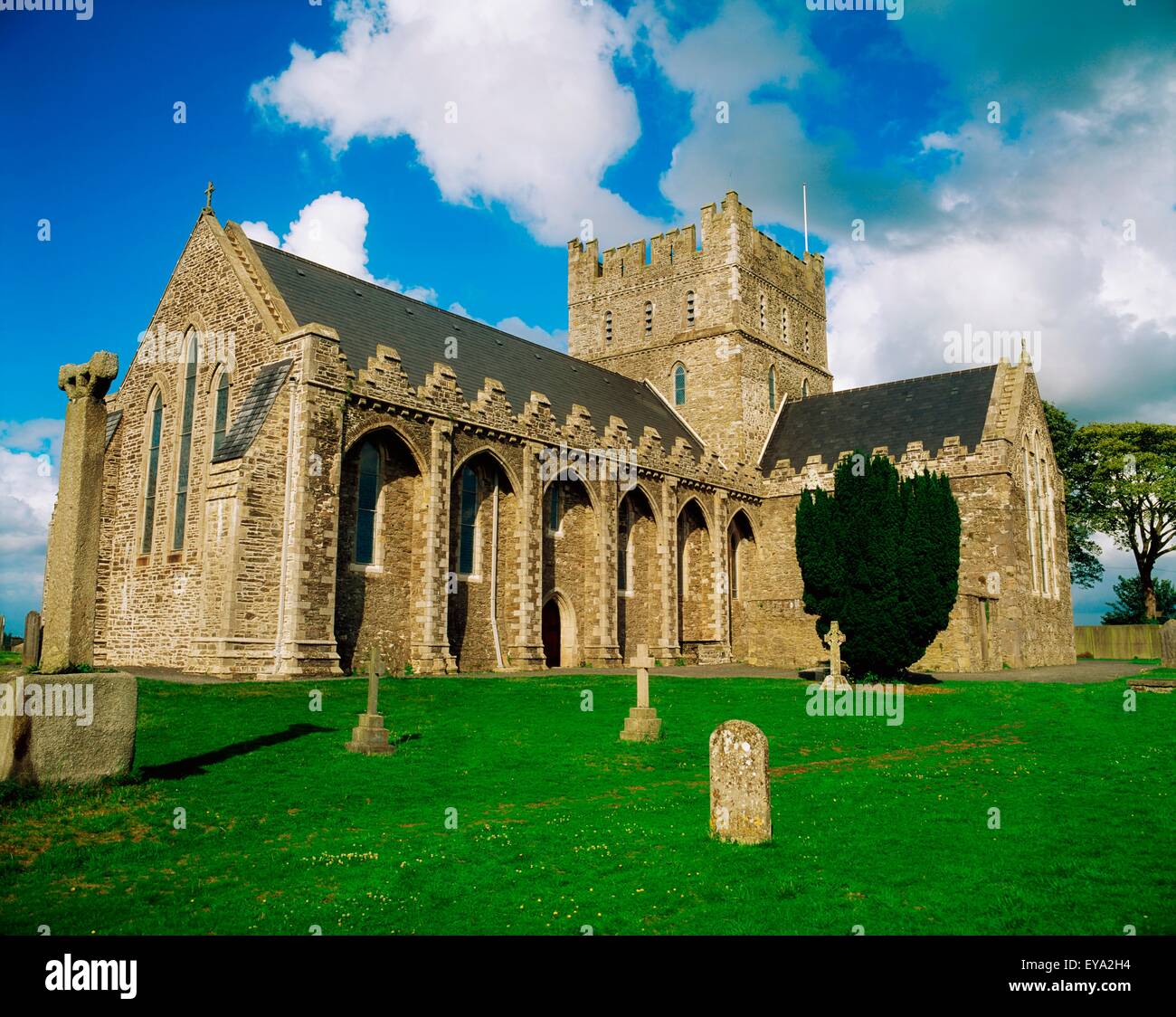 St. Bridgets WellHoly well · 1.3 mi
 Brookfield WoodWood · 1.5 mi
 Green's WoodForest · 1.6 mi
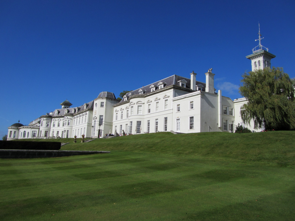 Cloney CastleCastle, unclassified · 3.3 mi
 Site of CastleCastle, unclassified · 3.3 mi
 Horse MuseumMuseum · 5.6 mi
 Japanese GardensHeritage attraction · 5.6 mi
 Bithia Mary CrokerMemorial · 7.9 mi
 Bog Lake WalkWalking route · 8.2 mi