
What is recorded here
Towards the E end of a roadside graveyard (KD026-010001-). A ruined rectangular structure (int. 10.6m E-W; 3.2m N-S) is defined by low grassed-over, collapsed walling (int. H 0.3-0.6m; Wth 1.3-2.5m; ext. H 0.2-0.6m). A gap (Wth 1.7m) mid-way along the S sidewall marks an entrance. A partially earthfast, chamfered arch-stone (L 0.5m; Wth 0.25m) lies in the SW corner of the interior, which also contains burial plots.
Compiled by: Gearóid Conroy
Date of upload: 24 August 2012
The monument record does not grant public access. Check the route and ask the landowner before entering private land.
- What survives
- Recorded monument
Places near here
 Catholic Church of Our Lady of Victorieschurch/chapel · 971 yd
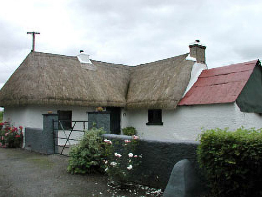 farm housefarm house · 1.1 mi
 Enclosure in Killeen WestEnclosure · 1.1 mi
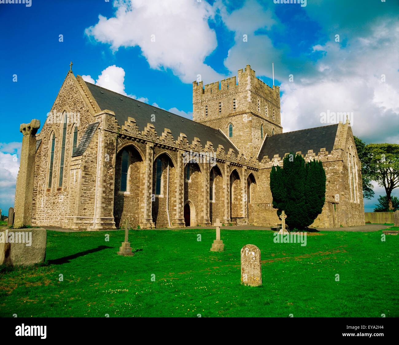 St. Bridgets WellHoly well · 1.3 mi
 Brookfield WoodWood · 1.4 mi
 Green's WoodForest · 1.8 mi
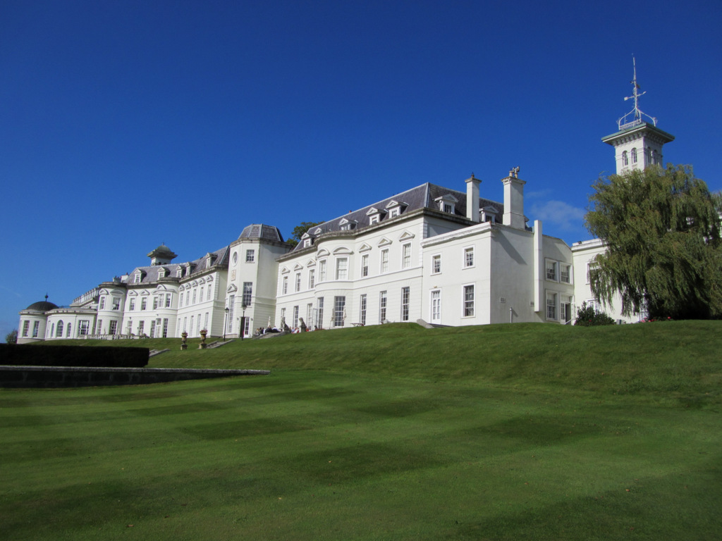 Cloney CastleCastle, unclassified · 3.0 mi
 Site of CastleCastle, unclassified · 3.1 mi
 Horse MuseumMuseum · 5.6 mi
 Japanese GardensHeritage attraction · 5.6 mi
 Bithia Mary CrokerMemorial · 8.2 mi
 Bog Lake WalkWalking route · 8.5 mi
Other information
Photo: Credit not shown in the picture search · Rights wording not checked; contact us if this picture should be removed