
What is recorded here
From the National Monuments Service (Archaeological Survey of Ireland) record TS066-118
Places near here
Photo credits
- Maker not stated on source page, ru.pinterest.com
- National Inventory of Architectural Heritage
- Colin Park, Geograph · CC BY-SA 2.0
- Maker not stated on source page, commons.wikimedia.org
- Maker not stated on source page, www.bigstockphoto.com
- Maker not stated on source page, www.ireland.com
- Knockane GAA Club website; individual photographer not stated, www.knockane.com
- Kmcnamee, Wikimedia Commons · CC BY-SA 4.0
- No machine-readable author provided. Christian1965~commonswiki assumed (based on copyright claims)., Wikimedia Commons · Public domain
 CastleCastle, unclassified · 1368 yd
Explorer Tom The Castle at Ardavullane ended up in the wrong place because it took a wrong turn on a muddy road three hundred years…
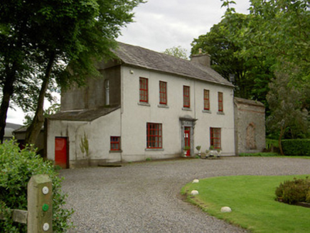 Mount BruisHouse · 1.0 mi
Explorer Tom Mount Bruis would survive a zombie attack by just standing there looking so well-proportioned that the zombies get…
 SlievenamuckMountain / peak · 1.5 mi
Explorer Tom Slievenamuck is absolutely sick of being asked if it’s related to Slievenamon because they are different hills with…
 Enclosure in Shronell (bruis Par.)Enclosure · 1.8 mi
Explorer Tom Enclosure in Shronell is incredibly proud of its waterlogged fosse, which looks like someone spilled a puddle and left…
Enclosure in Shronell (shronell Par.)Enclosure · 2.1 miExplorer Tom Enclosure in Shronell claims a fake royal visit that nobody can actually disprove today. The bank is levelled out, but…
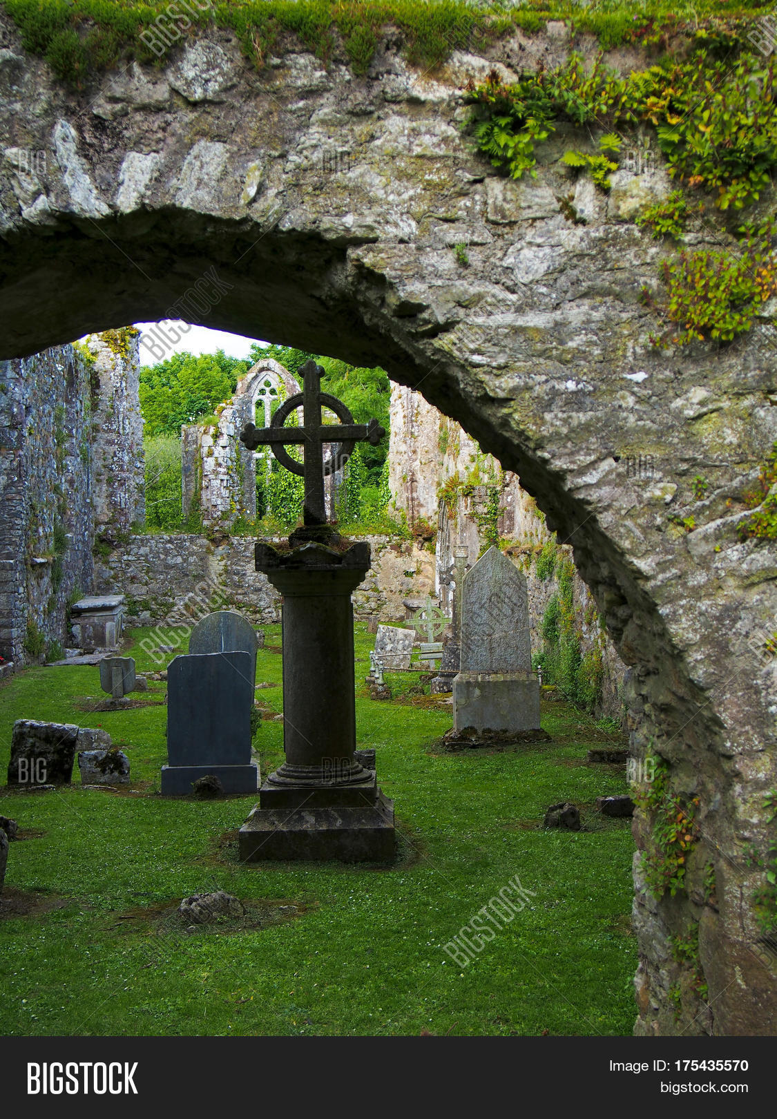 Shronell CemeteryCemetery · 2.1 mi
Explorer Tom Shronell Cemetery has been hiding a massive scandal involving a stolen chalice for centuries. It’s probably still…
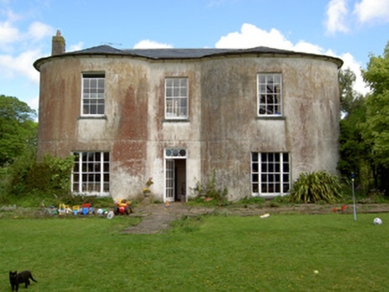 Shronell HouseHouse · 2.3 mi
Explorer Tom Shronell House in Shronell is bowing so much it looks like it’s trying to apologize for the medieval bones it might be…
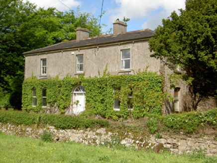 DamervilleHouse · 2.5 mi
Explorer Tom Damerville in Ballyconry is a multi-period mystery house with a tunnel to the pub that nobody believes. It’s got canted…
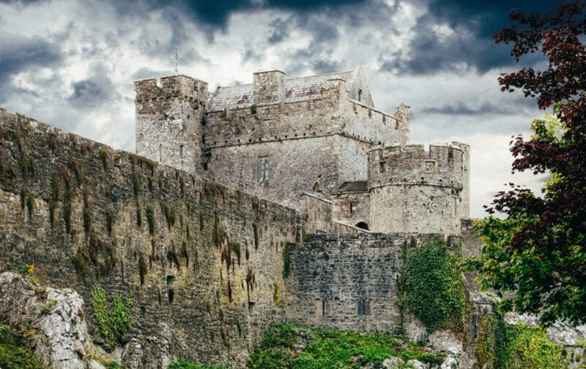 Castle LoughryArchaeological place · 5.4 mi
Explorer Tom Castle Loughry once hosted the most dramatic argument in Tipperary history, where two chaps threw a hat at each other…
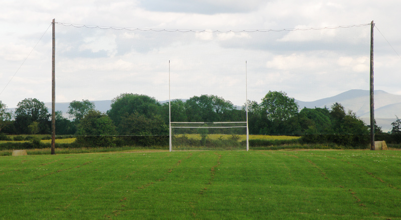 Knockainey GAA pitchGAA ground · 12 mi
 Bruff GAA pitchGAA ground · 14 mi
 Áine and Gearóid Iarla: Lough GurLegend location · 14 mi
Explorer Tom Áine and Gearóid Iarla: Lough Gur has a goddess for the lake and a sleeping lord in the old stories. I thought I was…
More archaeology and monuments in County Tipperary · All of County Tipperary

What do you know about this place?Tap to add a comment or ask a question