
What is recorded here
In reclaimed pasture, 180m N of Elton House. Not marked on OSi historic maps. Possible site identified as a rectangular enclosure during examination of aerial photographs (BGE 1/10,000, 71) taken 03/11/1984 on Bórd Gáis Éireann gas pipeline. Monument visible as rectangular shaped area (dims. c. 40m N-S; 50m E-W)…
Read the whole record
From the National Monuments Service (Archaeological Survey of Ireland) record LI040-165
Places near here
Photo credits
- National Inventory of Architectural Heritage
- Maker not stated on source page, www.gettyimages.ca
- Knockane GAA Club website; individual photographer not stated, www.knockane.com
- Kmcnamee, Wikimedia Commons · CC BY-SA 4.0
- Maker not stated on source page, www.tripadvisor.ca
- Maker not stated on source page, heritagecalling.com
- Maker not stated on source page, en.wikipedia.org
- The Speckled Bird, Wikimedia Commons · CC BY-SA 4.0
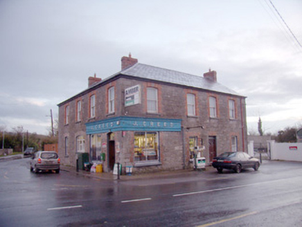 J. CreedHouse · 1247 yd
Explorer Tom J. Creed in Knocktoran has strong opinions on modern buildings, mostly that they look like cardboard boxes with no…
 Knocktoran HouseGate lodge · 1.1 mi
Explorer Tom Knocktoran House is run by a matchmaker who pairs off the timber sash windows with the render detailing for profit.…
 (Site of) ChurchChurch · 2.3 mi
Explorer Tom Church in Balline is hiding a treasure chest that is definitely just an old biscuit tin. St. Molua’s Well is right…
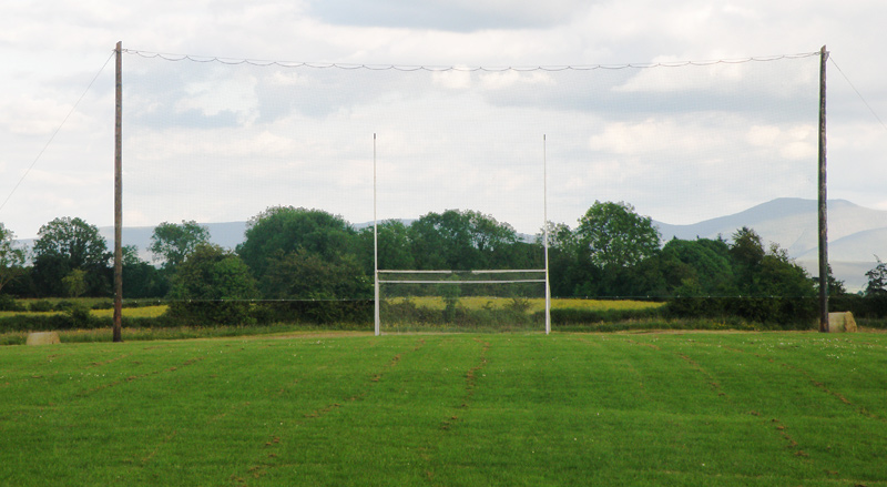 Knockainey GAA pitchGAA ground · 3.3 mi
 Bosnetstown VillaHouse · 4.0 mi
Explorer Tom Bosnetstown Villa is being claimed by a local who says he invented symmetry himself. He swears the chimneys were his…
 Bruff GAA pitchGAA ground · 4.7 miCastletown/Ballyagran GAA pitchGAA ground · 14 mi
 Church in KnockballymartinChurch · 22 mi
Explorer Tom Church in Knockballymartin is just a field now because the church got lost in translation somewhere around 1934. No…
 Kilbrin GAA pitchGAA ground · 23 mi
 Castle (Site of)Castle, unclassified · 26 mi
Explorer Tom Castle in Curragh is in a rivalry with its more famous namesake across the county, standing on the Allow River bank…
 Kanturk CastleHeritage attraction · 27 mi
Explorer Tom Kanturk Castle in County Cork has a bird that refuses to leave no matter how much you wave at it. The castle itself is…
 Kanturk Castle GroundsPark · 27 mi
Explorer Tom Kanturk Castle Grounds got into a massive feud with the next village over whether a specific fence post was leaning to…
More archaeology and monuments in County Limerick · All of County Limerick

What do you know about this place?Tap to add a comment or ask a question