What is recorded here
In pasture, on relatively flat low-lying terrain. Rectangular area (39m N-S; 33.5m E-W) enclosed by earth and stone bank (int. H 0.33m; ext. H 0.90m) with external fosse (Base Wth 1.1m; D 0.2m) SE->N. Cattle break (Wth 3m) in bank at SSE; bank denuded by cattle and is best preserved at NW. Field boundary runs SE-NW across site to NE of centre; NE corner of site to NE of field boundary levelled. Interior level and under pasture. Listed as a moated site by Barry (Barry 1981, 84; site no. 15).
Compiled by: Denis Power
Date of upload: 26 August 2011
The monument record does not grant public access. Check the route and ask the landowner before entering private land.
- What survives
- Recorded monument
Places near here
 Burial Gd.Graveyard · 940 yd
 post boxpost box · 1264 yd
 Burial GroundGraveyard · 1740 yd
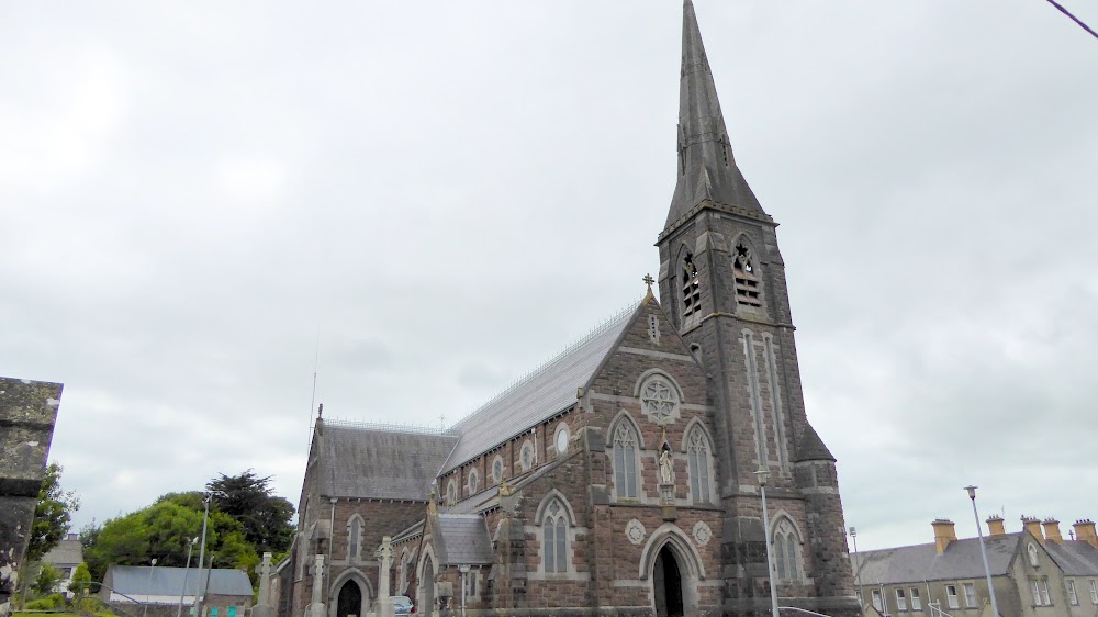 Church (in Ruins)Church · 1.5 mi
 European ashEuropean ash · 1.5 mi
 CastleCastle, tower house · 1.7 mi
 LaghtpatrickSpring · 1.8 mi
 Lady's WellSpring · 2.3 mi
 Glebe CastleCastle · 2.4 mi
 Flat cemetery in CroaghFlat cemetery · 4.2 mi
 Famine stoneMemorial · 4.3 mi
 KnockfeerinaMountain / peak · 4.9 mi