What is recorded here
Cropmark of rectangular-shaped enclosure (approx. dims. 35m NE-SW x 29m NW-SE) with entrance gap at NW visible on Google earth aerial imagery.
See attached image taken from Google Earth aerial photographs taken 26/06/2018
Compiled by: Caimin O'Brien based on details provided by Jean-Charles Caillère
Date of upload: 11 September 2019
The monument record does not grant public access. Check the route and ask the landowner before entering private land.
- What survives
- Recorded monument
Places near here
 BarrowBarrow, ring-barrow · 897 yd
 Lowertown Bridgebridge · 1365 yd
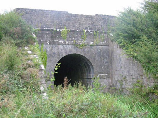 aqueductaqueduct · 1464 yd
 Hut site in BalleekHut site · 1685 yd
 Bracklin WoodWood · 1.0 mi
 Castle (in ruins)House, fortified house · 1.4 mi
 Bawn in Bracklin BigBawn · 1.7 mi
 Bonfire HillMountain / peak · 1.9 mi
 Durrow HillMountain / peak · 1.9 mi
 St. Columba's WellSpring · 2.4 mi
 Ardan WoodWood · 2.4 mi
 Grand Canal WayWalking route · 3.3 mi