What is recorded here
Situated in poorly drained low-lying land on low natural mound with nearby church (OF009-019002-) to SE. All that remains are two poorly preserved low walls, the E wall running N-S and the S wall running E-W. The structure was probably a Tower house built with uncoursed limestone rubble. The E wall is 8.5m long with an int. H of 2m. The S wall is 4m in length. The structure itself seems to lie on the E side of the mound, which is defined by a number of irregular earthworks. The bawn area seems to be located to the W of the Tower house. Depicted as a small square shaped building on the OS 6-inch map.
The above description is derived from the published 'Archaeological Inventory of County Offaly' (Dublin: Stationery Office, 1997). In certain instances the entries have been revised and updated in the light of recent research.
Date of upload: 23 May 2011
A local castle; wider significance not recorded.
The monument record does not grant public access. Check the route and ask the landowner before entering private land.
- What survives
- Recorded monument
Places near here
 Bracklin Castle (ruins)Castle · 1 yd
 Bawn in Bracklin BigBawn · 101 yd
 Church (Site of)Church · 120 yd
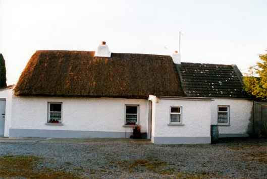 farm housefarm house · 1450 yd
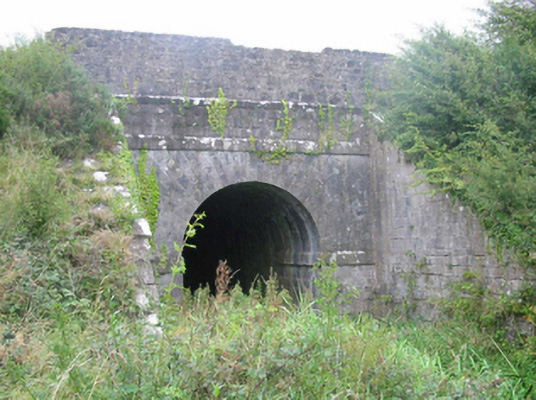 aqueductaqueduct · 1614 yd
 Bracklin WoodWood · 1.1 mi
 Lackan HillMountain / peak · 1.8 mi
 Carn (Site of)Cairn, unclassified · 1.8 mi
 Ardan WoodWood · 2.4 mi
 Bonfire HillMountain / peak · 2.5 mi
 Grand Canal WayWalking route · 3.9 mi
 St. Columba's WellSpring · 4.1 mi