What is recorded here
Situated on lowlying poorly drained soils. The earthworks which are present in Bracklin Big are associated with the tower house, known as Bracklin Castle (OF009-019001-) and the destroyed church (OF009-019002-). They are found to the west, south and east of the castle and to the north of the church site. The earthworks run in a haphazard fashion though it is possible to make out the shape of the bawn to the west side of the castle (OF009-019001-). A distinctive earthwork, situated on the east side of the castle runs in a NE-SE direction could be a possible roadway. The earthworks of the castle site were described in 1977 as, 'low mounds of stones to the west of the castle (OF009-019001-). the castle is set in the eastern end of an enclosure of approx. rect.[angular] shape. The perimeter of this enclosure & the western end of the enclosure could be the result of more recent modification. On the north side the perimeter is bounded by a low scarp, on the NW side & west sides this becomes a low bank. This bank continues rather irregularly along the south & east sides. There is a shallow fosse outside on east, south & west. the surrounding are is rather poorly drained pasture land' (SMR file 1977).
Situated on lowlying poorly drained soils. The earthworks which are present in Bracklin Big are associated with the tower house, known as Bracklin Castle (OF009-019001-) and the destroyed church (OF009-019002-). They are found to the west, south and east of the castle and to the north of the church site. The earthworks run in a haphazard fashion though it is possible to make out the shape of the bawn to the west…
From the National Monuments Service (Archaeological Survey of Ireland) record OF009-019003
The monument record does not grant public access. Check the route and ask the landowner before entering private land.
- What survives
- Recorded monument
Places near here
Photo credits
- National Inventory of Architectural Heritage
- JP, Geograph · CC BY-SA 2.0
- kevin higgins, Wikimedia Commons · CC BY-SA 2.0
- Dalenevada, Wikimedia Commons · CC BY-SA 4.0
- Mike Searle, Geograph · CC BY-SA 2.0
- Algirdas at Lithuanian Wikipedia, Wikimedia Commons · Public domain
- User:Jgillett, Wikimedia Commons · Public domain
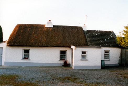 farm house1416 yd
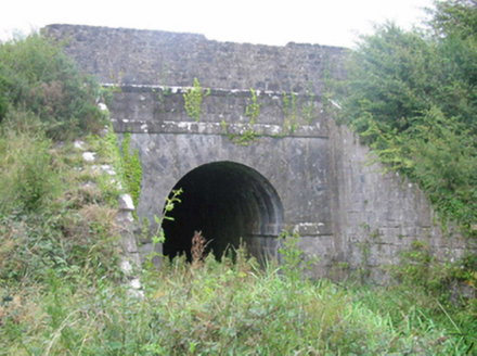 aqueduct1583 ydLackan HillMountain / peak · 1.8 miBonfire HillMountain / peak · 2.5 mi
 Grand Canal WayWalking route · 3.8 miSt. Columba's WellSpring · 4.0 mi
 St. Columbkilles CrossCross, High cross · 4.1 mi
 CrossCross, High cross · 4.1 mi
 Durrow MoatCastle, motte · 4.2 mi
 Pedunculate Oak5.5 miPedunculate Oak5.5 mi
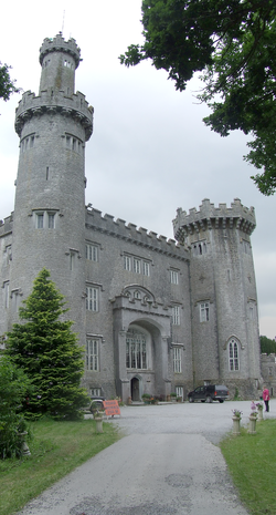 Charleville CastleCastle · 6.2 mi
More castles and forts in County Offaly · All of County Offaly
What do you know about this place?