What is recorded here
In a flat plain, a small river is located 200-300m to the N. Rectangular area (max. dims. 48m NE-SW; 30m SE-NW) enclosed by a fosse (Wth 1.5m; D 0.2m). At the NE corner of the interior there is a slightly raised platform (max. dims. 24m NE-SW; 12m SE-NW) delimited by a degraded earth and stone bank. There is no visible trace of an original entrance.
Compiled by: Jean Farrelly
Date of upload: 21 November 2014
This remains an important historical record, but the official description says the monument is no longer visible or has been destroyed. The monument record does not grant public access. Check the route and ask the landowner before entering private land.
- What survives
- No visible remains or recorded as destroyed
Places near here
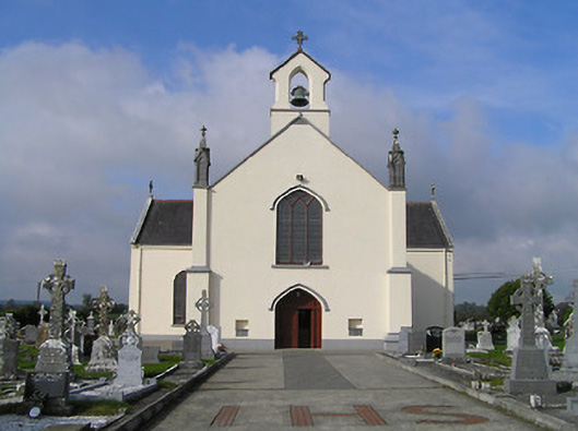 Saint Patrick's Catholic Churchchurch/chapel · 1009 yd
 IndicatedHoly well · 1029 yd
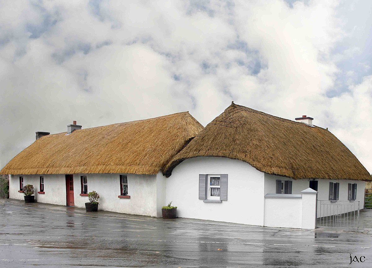 Enclosure in CloghEnclosure · 1410 yd
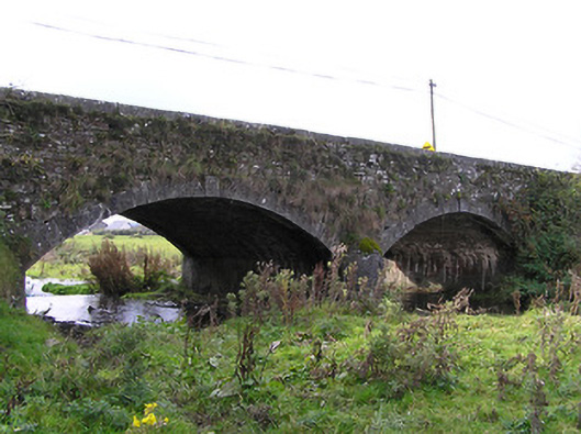 Clogh Bridgebridge · 1428 yd
 CastleCastle, unclassified · 1717 yd
 European ashEuropean ash · 3.2 mi
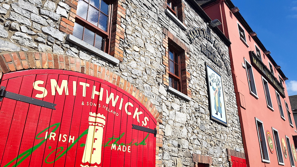 Glenmullen WoodWood · 3.5 mi
 Kilgorey Old BurialVisitor information · 3.6 mi
 Ardra LoopWalking route · 3.7 mi
 Castlecomer Discovery ParkHeritage attraction · 4.1 mi
 Footprints In CoalMuseum · 4.1 mi
 Estate YardMemorial · 4.1 mi