What is recorded here
Rectangular enclosure marked on the 1837 OS 6-inch map (dims. c. 35m x 35m). No visible surface trace of monument. Possibly a moated site.
Date of upload: 15 September 2016
The monument record does not grant public access. Check the route and ask the landowner before entering private land.
- What survives
- Recorded monument
Places near here
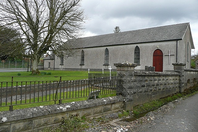 Church (in Ruins)Church · 1199 yd
 Enclosure in MooneEnclosure · 1492 yd
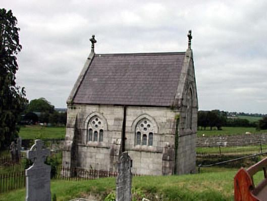 Catholic Church of the Blessed Trinitychurch/chapel · 1727 yd
 European LarchEuropean Larch · 1.1 mi
 MonasteryEcclesiastical site · 1.2 mi
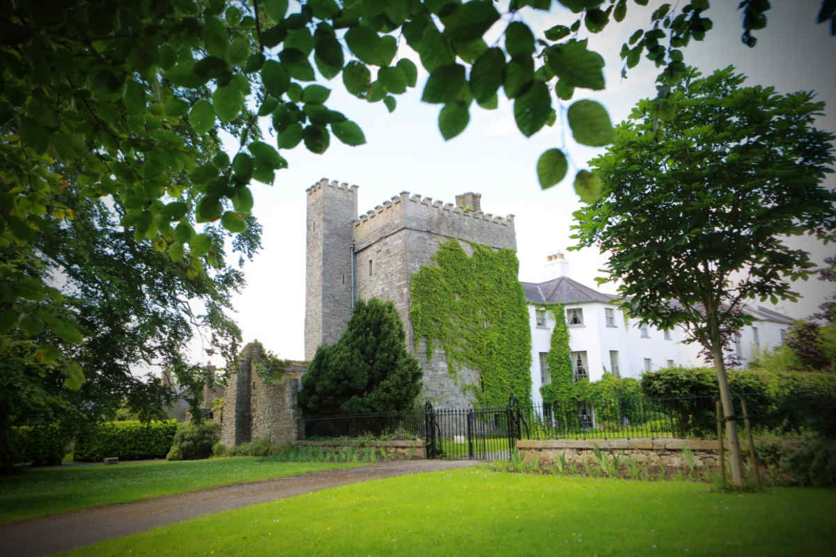 CastleCastle, unclassified · 1.3 mi
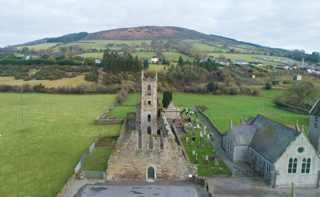 Ballycore RathCastle, motte and bailey · 1.4 mi
 Moone Fox CovertForest · 1.5 mi
 Burtown House and GardensHeritage attraction · 3.8 mi
 Lorcán Ó TuathailMemorial · 4.4 mi
 Castledermot Round TowerHeritage attraction · 4.5 mi
 ProclamationMemorial · 4.7 mi