What is recorded here
In pasture, on S-facing slope, adjoining moated site (TS069-061002-) to NW corner. No visible surface trace except a slight trace of levelled bank to N and E. Area of monument incorporated into rest of field as pasture. Shown on current and 1840 edition OS 6-inch map as rectangular area defined by enclosing elements along W, N and E sides and possibly truncated by field boundary to S (long axis E-W). No evidence that field boundary is part of original monument. According to Cahill (1982), monument levelled c. 1970. Moated site (TS069-061002-) adjoins NW corner and enclosure (TS069-061001-) located 120m to N in adjacent field.
Compiled by: Jean Farrelly
Date of upload: 26 August 2011
The monument record does not grant public access. Check the route and ask the landowner before entering private land.
- What survives
- Recorded monument
Places near here
 Enclosure in Moorstown (mora Par.)Enclosure · 136 yd
 Enclosure in Colman (hennessy)Enclosure · 784 yd
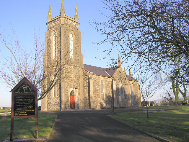 Colman Church (in ruins)Church · 835 yd
 IndicatedRoad, road/trackway · 1044 yd
 BatteryBawn · 1451 yd
 Rathdrum Castle (in ruins)Castle, tower house · 1.1 mi
 Pedunculate OakPedunculate Oak · 2.6 mi
 European YewEuropean Yew · 3.1 mi
 East GateMemorial · 3.2 mi
 Kilknockan HillMountain / peak · 4.1 mi
 Caher AbbeyHeritage attraction · 8.4 mi
 ToberamaherHoly well · 855 yd