
What is recorded here
From the National Monuments Service (Archaeological Survey of Ireland) record CO083-072
Places near here
Photo credits
- Mike Searle, Wikimedia Commons · CC BY-SA 2.0
- National Inventory of Architectural Heritage
- Maker not stated on source page, it.pinterest.com
- Maker not stated on source page, www.islands.com
- Maker not stated on source page, commons.wikimedia.org
- Larry Cummins / EchoLive, www.echolive.ie
- Frabjousone, Wikimedia Commons · CC BY-SA 4.0
 Clodah Castle (in Ruins)Castle, tower house · 437 yd
Explorer Tom Clodah Castle is a square four-storey tower right on the shoulder of the Bride River valley. It’s got a murder hole…
 Clodah CastleCastle · 438 yd
Explorer Tom Clodah Castle in County Cork had a fox take charge of the place one winter. The fox sat on the throne and made…
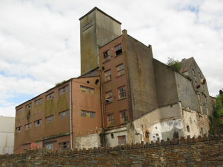 Bellmount MillsMill (water) · 887 yd
Explorer Tom Bellmount Mills ended up in the wrong place because it mistook Crookstown for a more vibrant industrial hub back in the…
 Fairy fort / earthen ringfort in Currabeha (muskerry West By.)Fairy fort / earthen ringfort · 1144 yd
Explorer Tom Fairy fort / earthen ringfort in Currabeha is basically invisible until the plough reveals a soil mark, like a shy…
 Bullaun stone (present location) in Bellmount LowerBullaun stone (present location) · 1377 yd
Explorer Tom Bullaun stone in Bellmount Lower is lying along a field boundary. A chunk is missing, so it’s like a loaf of bread that…
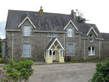 Bellmount HouseHouse · 1444 yd
Explorer Tom Bellmount House has rough walls and fine windows, which is a bit of a contradiction. It’s got an ornate gate lodge…
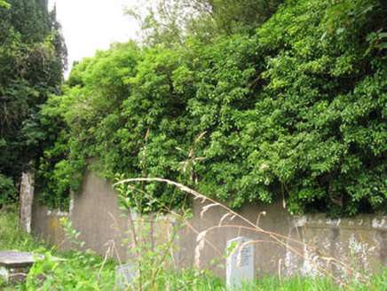 St Helen's Church of Ireland ChurchChurch/chapel · 1458 yd
Explorer Tom St Helen's Church of Ireland Church is a ruin from 1820 that lost its roof but kept its style. The carved windows are…
 Church (Site of)Church · 1462 yd
Explorer Tom Church in Bellmount Lower would describe itself as a 'retired gentleman who prefers his solitude'. It sits right next…
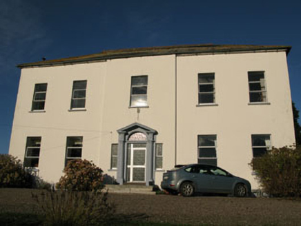 Crookstown HouseCountry house · 1555 yd
Explorer Tom Crookstown House in Inchirahilly is a country house from around 1820 with a tooled stone doorcase that’s really trying…
 sign post1685 yd
Explorer Tom Sign post in Bellmount Lower is wearing a harp motif like it’s the national anthem of the road. Erected around 1940…
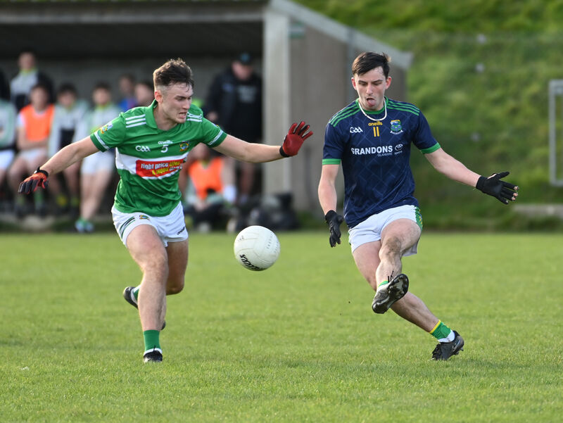 Kilmurry GAA pitchGAA ground · 1.4 mi
 Michael Collins MemorialMemorial · 1.7 mi
Explorer Tom Michael Collins Memorial in County Cork is definitely the shortcut that is actually a dead end. It looks official but…
More archaeology and monuments in County Cork · All of County Cork

What do you know about this place?Tap to add a comment or ask a question