
What is recorded here
From the National Monuments Service (Archaeological Survey of Ireland) record RO029-148
Places near here
Photo credits
- Maker not stated on source page, www.thejournal.ie
- National Inventory of Architectural Heritage
- David Maher / Sportsfile, as printed in the photograph caption; image published by the GAA, www.gaa.ie
- Maker not stated on source page, en.wikipedia.org
- Alvesgaspar, Wikimedia Commons · CC BY-SA 3.0
- Maker not stated on source page, commons.wikimedia.org
- Maker not stated on source page, heritageireland.ie
- Golfing in Ireland; photographer not stated, Source publisher
- Miguel Angel Masegosa Martínez, Wikimedia Commons · CC BY 2.0
- Maker not stated on source page, www.pinterest.com
- Maker not stated on source page, www.visitgalway.ie
- Mike Searle, Wikimedia Commons · CC BY-SA 2.0
 Fairy fort / earthen ringfort in Ashbrook or KnocknabarnaboyFairy fort / earthen ringfort · 910 yd
Explorer Tom Fairy fort / earthen ringfort in Ashbrook Or Knocknabarnaboy would tell you it’s a great candidate for the job, if you…
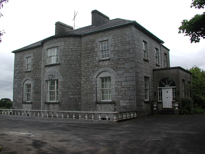 The GlebeRectory/glebe/vicarage/curate's house · 1498 yd
Explorer Tom The Glebe in Newtown near Strokestown is annoyed because the wind keeps picking on its bow-shaped front. The central…
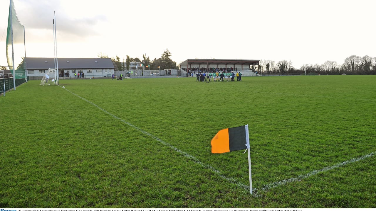 Farnbeg, Strokestown GAAGAA ground · 1.2 mi
 Church in LissonuffyChurch · 1.4 mi
Explorer Tom Church in Lissonuffy is where the whole parish once argued about whether a wall was crooked or just tired. It’s been…
 Common Lime1.4 mi
Explorer Tom Common Lime in County Roscommon is so pretty that Vikings probably wandered straight into its branches trying to find…
 Cupmarked stone in LissonuffyCupmarked stone · 1.5 mi
Explorer Tom Cupmarked stone in Lissonuffy would be the guest at a wedding who stands in the corner, sipping water and judging…
 Fairy fort / earthen ringfort in CarrowntrylaFairy fort / earthen ringfort · 1.5 mi
Explorer Tom Fairy fort / earthen ringfort in Carrowntryla sits on that drumlin ridge with very strict rules for visitors. Three…
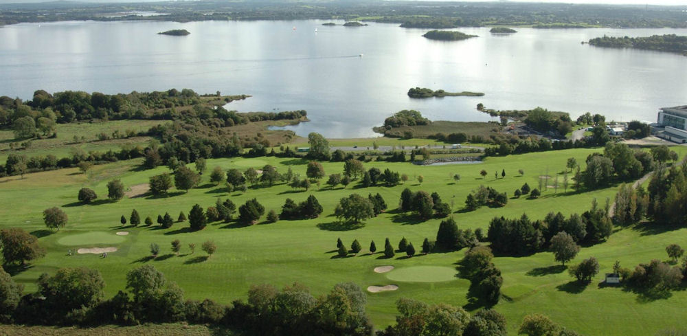 Strokestown Golf ClubGolf course · 1.6 mi
 Sweet Chestnut1.7 mi
Explorer Tom Sweet Chestnut in County Roscommon decided to give up its acorns for Lent this year because it felt they were too heavy…
 CastleCastle, unclassified · 4.7 mi
Explorer Tom Castle Cornashinnagh is absolutely paranoid about the postman because he never delivers anything interesting to that…
 Glinsk CastleVisitor attraction · 16 mi
Explorer Tom Glinsk Castle smells like a mix of old books, wet stone, and whatever the ghosts were having for dinner last night…
 Bawn in Glinsk (ballymoe By.)Bawn · 16 mi
Explorer Tom Bawn in Glinsk listens to what goes on inside the walls and probably hears the Burkes arguing about who left the light…
More archaeology and monuments in County Roscommon · All of County Roscommon

What do you know about this place?Tap to add a comment or ask a question