What is recorded here
On a gentle E-facing slope in pasture. A raised subrectangular area (c. 33m NW-SE; c. 28m NE-SW) enclosed from NE-E-SE by a low bank of earth and stone (Wth 4m; H 0.2m) and elsewhere defined by a scarp (H 0.6-0.8m). A wide, deep, external fosse (Wth 4m; D 1m) has been partially infilled from NE-E-SE. There is a possible house (LF020-029002-) at the N angle of the interior.
Compiled by: Patrick F. O'Donovan
Date of upload: 9 May 2012
The monument record does not grant public access. Check the route and ask the landowner before entering private land.
- What survives
- Recorded monument
Places near here
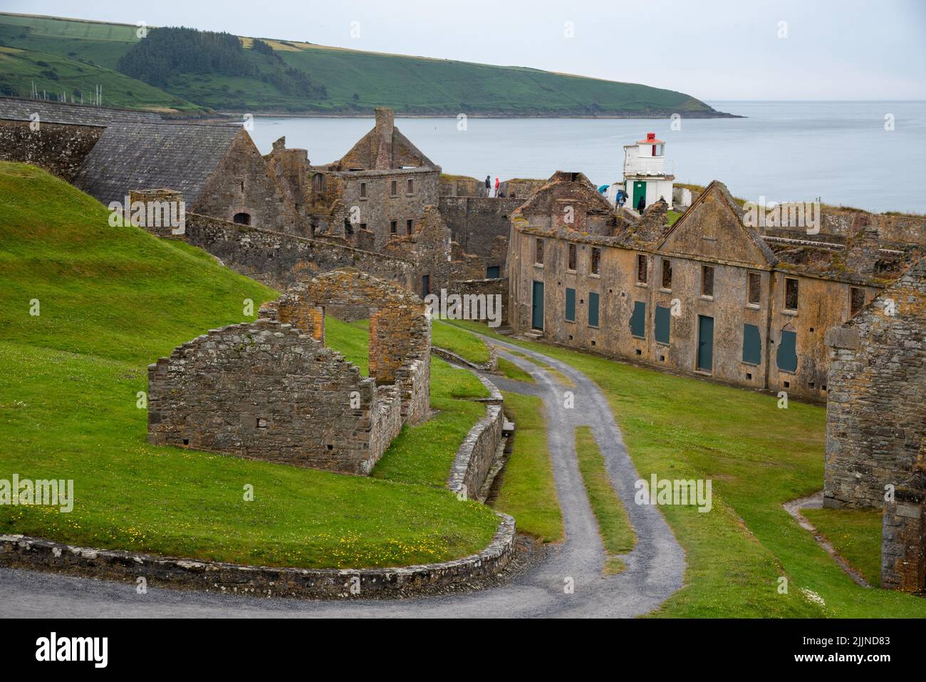 Fort, MoataphucaCastle, motte · 1058 yd
 post boxpost box · 1435 yd
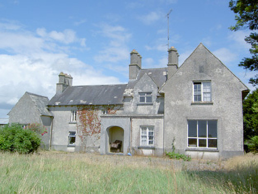 Sleehaun Househouse · 1693 yd
 MoatCastle, motte · 1.0 mi
 Caldragh Church YardBurial ground · 1.1 mi
 Ecclesiastical enclosure in Killeen (ardagh By.)Ecclesiastical enclosure · 1.2 mi
 Pedunculate OakPedunculate Oak · 2.2 mi
 ShawbrookForest · 2.4 mi
 Edgeworthstown BypassMemorial · 2.6 mi
 Graveyard in Curry (ardagh By., Coolamber Ed)Graveyard · 8.3 mi
 Granard MotteMotte-and-bailey castle remains · 9.8 mi
 1798 Monumentmonument · 9.8 mi