What is recorded here
Situated on the NE slope of a gently rising but prominent ridge, now surrounded by coniferous plantation as shown on Digital Globe aerial photograph taken November 2011. Lough Garr now drained and survives as a bog 250m to SW with River Riffey and bogland 450m to NE. Earthwork (WM006-028----) 380m to SE. Depicted on the 1837 ed. OS 6-inch map as a sub-rectangular shaped enclosure or earthwork (approx. diam. 30m NE-SW; 15m NW-SE dim). The earthwork has been levelled and is now visible only as a dark band of vegetation (Wth 6m). A gap (Wth 2m) in this crop mark at ESE may represent the location of an entrance.
Compiled by: Frank Coyne & Caimin O'Brien
Date of upload: 30 January 2017
The monument record does not grant public access. Check the route and ask the landowner before entering private land.
- What survives
- Recorded monument
Places near here
 OutlinedEnclosure · 462 yd
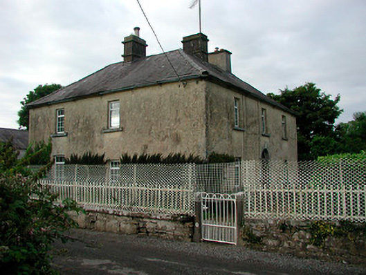 Barratogher Househouse · 1623 yd
 CastleCastle, motte and bailey · 1.1 mi
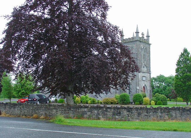 Saint Mary's Catholic Churchchurch/chapel · 1.3 mi
 Ecclesiastical enclosure in RussaghEcclesiastical enclosure · 1.4 mi
 MoatCastle, motte and bailey · 2.2 mi
 Silver FirSilver Fir · 3.1 mi
 Sweet ChestnutSweet Chestnut · 3.3 mi
 Bridge Memorial (Kenna)Memorial · 3.8 mi
 Granard MotteMotte-and-bailey castle remains · 8.6 mi
 1798 Monumentmonument · 8.7 mi
 CarrickMountain / peak · 10 mi