What is recorded here
In level tillage, c. 60m E of a small S-flowing stream which forms part of the county boundary with County Laois. Visible on an aerial photograph (GB 90.CM.13) as the cropmarks of two narrow, widely spaced fosses enclosing a large rectangular area (est. max. c. 70m E-W; c. 60m N-S) (pers. comm. Dr G. Barrett).
The attached image is copyright and reproduced courtesty of Dr Gillian Barrett.
Compiled by: Gearóid Conroy
Date of upload: 03 July 2013
The monument record does not grant public access. Check the route and ask the landowner before entering private land.
- What survives
- Recorded monument
Places near here
 milestone/milepostmilestone/milepost · 440 yd
 Blackford Castle (in Ruins)Castle, tower house · 543 yd
 Brackney WoodForest · 623 yd
 Hachured, Dandys HillFairy fort / earthen ringfort · 1588 yd
 Pedunculate OakPedunculate Oak · 1687 yd
 IndicatedEnclosure · 1.1 mi
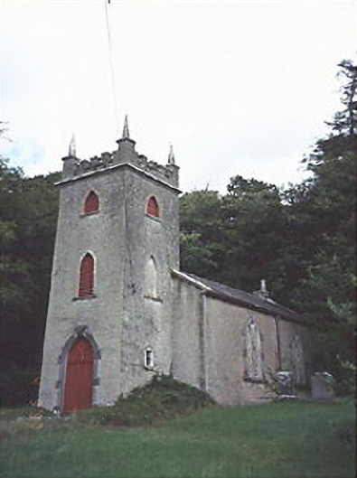 Saint Peter's Church (Curraclone)church/chapel · 1.1 mi
 Castle MitchellCastle, unclassified · 1.1 mi
 Cobbler's Castle WalkWalking route · 1.6 mi
 Mass RockNamed rock · 1.6 mi
 Beech Way WalkWalking route · 1.7 mi
 DM PenderMemorial · 1.8 mi