
What is recorded here
From the National Monuments Service (Archaeological Survey of Ireland) record KD034-043
Places near here
Photo credits
- National Inventory of Architectural Heritage
- Algirdas at Lithuanian Wikipedia, Wikimedia Commons · Public domain
- Maker not stated on source page, br.pinterest.com
- Maker not stated on source page, commons.wikimedia.org
- Maker not stated on source page, en.wikipedia.org
- Maker not stated on source page, www.flickr.com
- Maker not stated on source page, www.dreamstime.com
- Kmcnamee, Wikimedia Commons · CC BY-SA 4.0
- Maker not stated on source page, www.midlandsireland.ie
- Graham Horn, Geograph · CC BY-SA 2.0
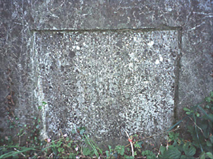 milestone/milepost440 yd
Explorer Tom Milestone or milepost in Blackford is wearing its 1818 boundaries like a cheap hat. Legend says a goat once ruled this…
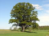 Pedunculate Oak910 yd
Explorer Tom Pedunculate Oak in County Laois is incredibly proud of that one branch that looks exactly like a sleeping dragon. It…
 Hairyhead WoodWood · 1336 yd
Explorer Tom Hairyhead Wood in County Laois would bring a really loud kazoo to any party it was invited to, just to make sure nobody…
 Saint Peters GraveyardGraveyard · 1.1 mi
Explorer Tom Saint Peters Graveyard in County Laois holds the secret of a priest who lost a bet on whether he could find a headstone…
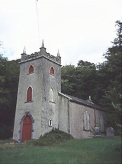 Saint Peter's Church (Curraclone)Church/chapel · 1.1 mi
Explorer Tom Saint Peter's Church in Monaferrick is an 1804 estate church with a three-storey tower that looks like it’s trying to…
 CastleCastle, unclassified · 1.2 mi
Explorer Tom Castle in Ballykilcavan smells like damp earth and regret, which is exactly how Tom would describe it if he were…
 Fairy fort / earthen ringfort in MonaferrickFairy fort / earthen ringfort · 1.2 mi
Explorer Tom Fairy fort / earthen ringfort in Monaferrick is locked in a bitter feud with the rain and losing badly. Bushes have…
 Fairy fort / earthen ringfort in Kylebeg (clanmallagh By.)Fairy fort / earthen ringfort · 1.3 mi
Explorer Tom Fairy fort / earthen ringfort in Kylebeg is playing hard to get. A cow once tried to buy it, but the price was too…
 Churchtown CemeteryCemetery · 1.4 mi
Explorer Tom Churchtown Cemetery has an imaginary fan club that meets every Tuesday to discuss its headstones, even though nobody…
 Tony Byrne Park, St Josephs GAAGAA ground · 1.5 mi
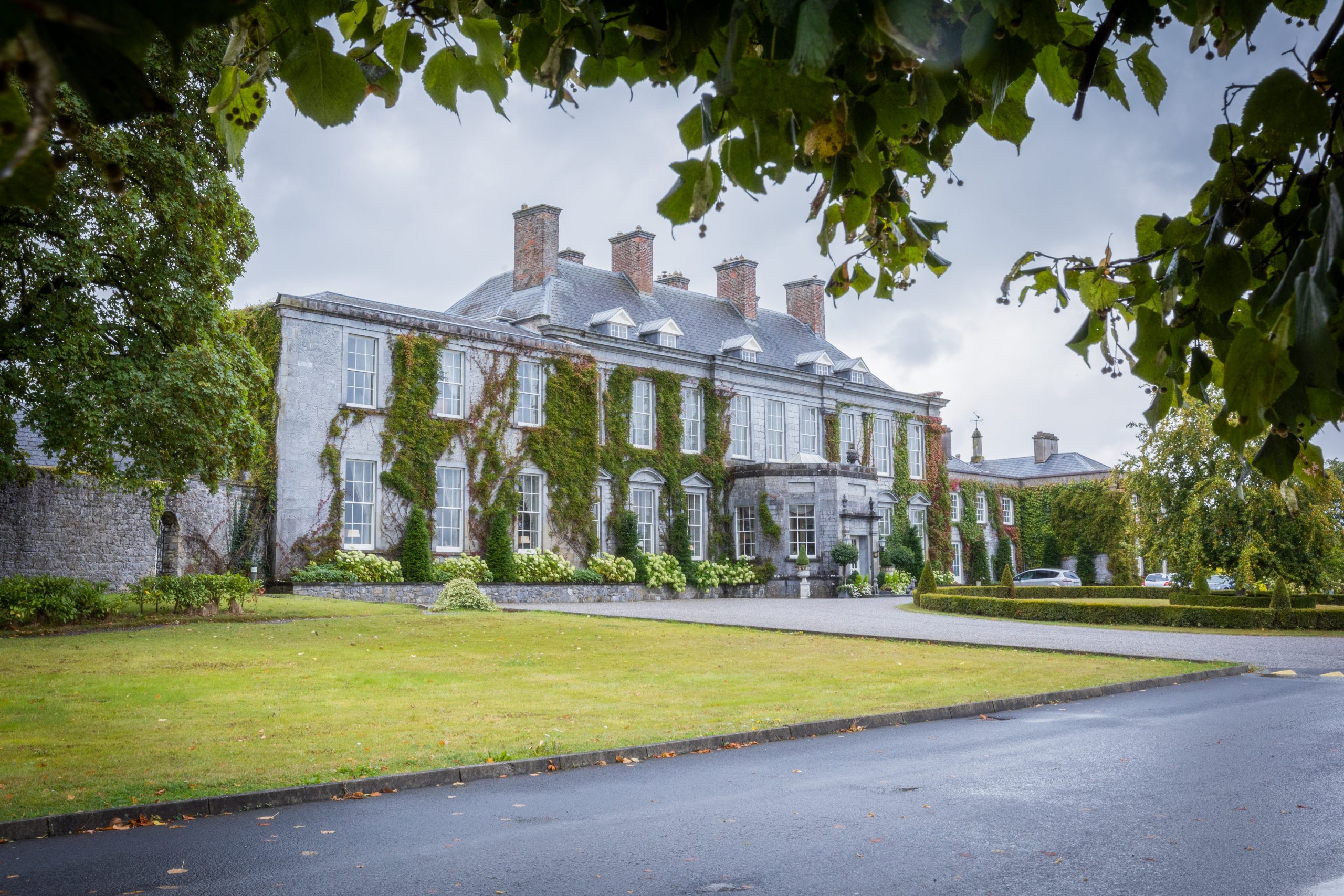 Cobbler's Castle Walk; Car ParkVisitor information · 1.6 mi
Explorer Tom Cobbler's Castle Walk, Car Park Visitor information in County Laois would post "Just parked my soul" on social media.…
 Oughaval Wood MapVisitor information · 1.9 mi
Explorer Tom Oughaval Wood Map is cursed so that anyone who doesn't wave at the trees will get lost in a loop for three days…
More archaeology and monuments in County Kildare · All of County Kildare

What do you know about this place?Tap to add a comment or ask a question