What is recorded here
In pasture, on top of an elongated flat-topped knoll with high steep rocky sides, giving excellent views in all directions. A subrectangular area (57m NE-SW; 25.7m NW-SE) defined on the SE side by a steep linear scarp (H 1m) with exposed limestone bedrock, on top of a less steep slope (H c. 6-7m). The SW side (H c. 2.5m), also broken by rock outcrops, is defined by a steep but lower scarp with an external fosse (Wth 7m; ext. D 1m). Skirting the fosse is a stony bank (Wth 1.2m), possibly a field boundary, that extends to NNE. The NW side is defined by a scarp (H c. 7-8m) which appears even higher and steeper than the SE side and in plan projects outward slightly in a shallow convex curve. The NE side comprises a straight scarp (H 2-2.5m) incorporating, slightly SE of centre, an entrance in the form of a slumped ramp-like gap (Wth 2m). A narrow stony bank (Wth 1.6m; H 0.65m) extends across the SW end of the interior c. 2m in from the edge of the scarp. A large, roughly D-shaped raised area (c. 28m NW-SE; c.18m NE-SW) abuts the NW side of the interior and is defined at NW by the edge of the enclosure and elsewhere by a curving scarp (H c. 1m). Immediately to SW is a possible hut site (SL039-058002-). The floodplain of the Owenmore River is to the E.
The above description is derived from the published 'Archaeological Inventory of County Sligo' compiled by Ursula Egan, Elizabeth Byrne, Mary Sleeman with Sheila Ronan and Connie Murphy (Dublin Stationery Office, 2005).
Date of upload: 18 January 2008
The monument record does not grant public access. Check the route and ask the landowner before entering private land.
- What survives
- Recorded monument
Places near here
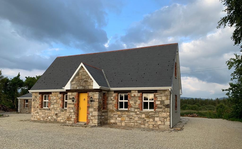 Hut site in BearvaishHut site · 56 yd
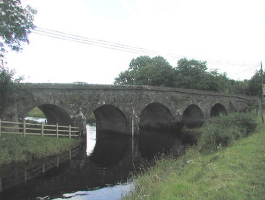 Big Bridgebridge · 994 yd
 IndicatedFairy fort / earthen ringfort · 1199 yd
 Bridge in Bellanalack,knockgrania (corran By., Kilturra Ed),knocknageeha (corran By.),rathbaun NorthBridge · 1242 yd
 Ballymote CastleCastle · 2.5 mi
 Brother WalfridMemorial · 2.6 mi
 Caves of KeshCave · 2.6 mi
 Ballyfahy Castle (in Ruins)Castle, unclassified · 2.6 mi
 Kesh CorannMountain / peak · 3.1 mi
 School CaveCave · 3.5 mi
 Tymon's HillMountain / peak · 3.8 mi
 Treanscrabbagh caveCave · 4.9 mi