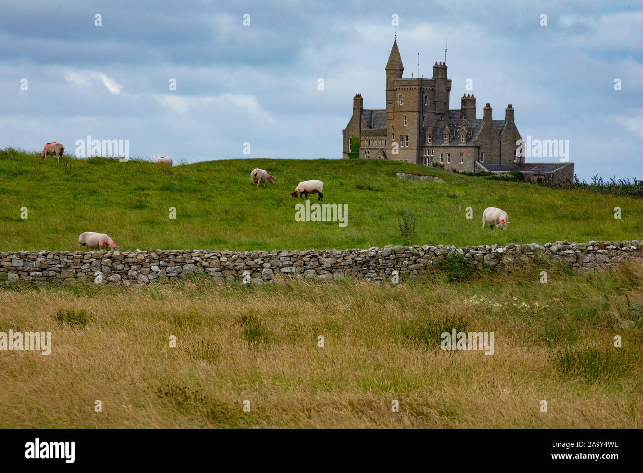
What is recorded here
At the S end of a narrow moderately steep-sided pasture ridge. Depicted on the 1st ed. (1837) of the OS 6-inch map as a circular enclosure (est. max. diam c. 40m). An almost square area (int. 22m N-S; 21.3m E-W) is defined by a fairly steep scarp (H 1.2m at S-1.9m at N) and a wet outer fosse (Wth 1.6m at N-3.4m at WNW) WNW-N-SE, which has been dug away along with portion of the interior SE-S-WNW. A later hedged field bank runs along the outer lip of the fosse WNW-N-SE.
Compiled by: Gearóid Conroy
Date of upload: 05 July 2013
The monument record does not grant public access. Check the route and ask the landowner before entering private land.
- What survives
- Recorded monument
Places near here
 Enclosure in Ballonaghan OR HarristownEnclosure · 363 yd
 Bridge in Bellanalack,knockgrania (corran By., Kilturra Ed),knocknageeha (corran By.),rathbaun NorthBridge · 1112 yd
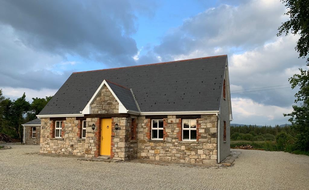 Hut site in BearvaishHut site · 1144 yd
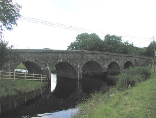 Big Bridgebridge · 1.1 mi
 Ballyfahy Castle (in Ruins)Castle, unclassified · 2.0 mi
 Ballymote CastleCastle · 2.8 mi
 Brother WalfridMemorial · 2.8 mi
 Tymon's HillMountain / peak · 3.2 mi
 Caves of KeshCave · 3.3 mi
 Kesh CorannMountain / peak · 3.8 mi
 School CaveCave · 4.2 mi
 ElderElder · 5.0 mi
Other information
Photo: Credit not shown in the picture search · Rights wording not checked; contact us if this picture should be removed