
What is recorded here
A bridge is indicated on the Down Survey (1655-6) barony map crossing the Black River. A mill (SL039-141----) is indicated on the same map, to NE of the bridge. The precise location of this bridge is not known, although it is probably on or near a roadbridge and adjacent mill-stream which are indicated on the 1838 OS 6-inch map.
The above description is derived from the published 'Archaeological Inventory of County Sligo' compiled by Ursula Egan, Elizabeth Byrne, Mary Sleeman with Sheila Ronan and Connie Murphy (Dublin Stationery Office, 2005).
Date of upload: 18 January 2008
The monument record does not grant public access. Check the route and ask the landowner before entering private land.
- What survives
- Recorded monument
Places near here
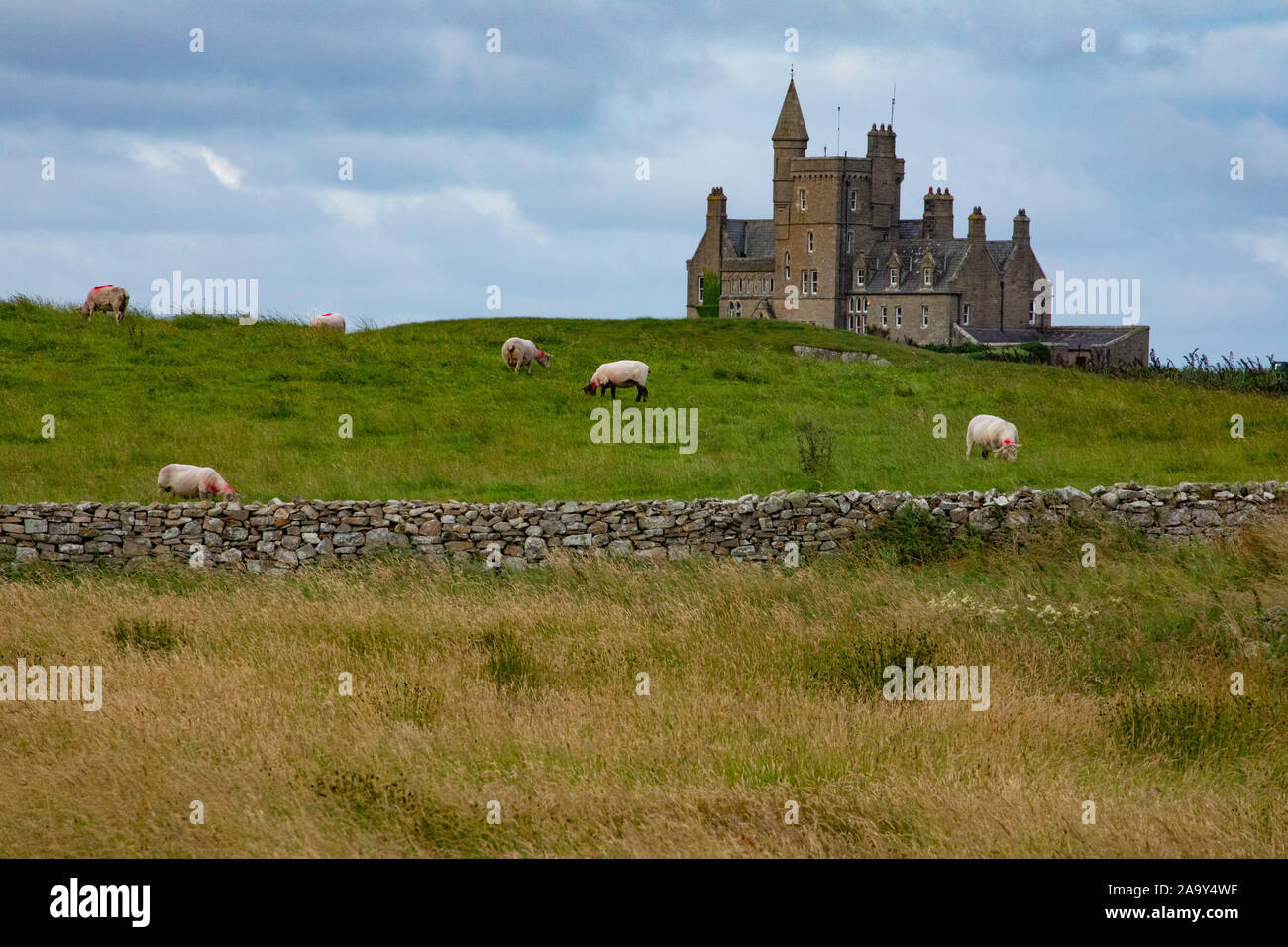 IndicatedFairy fort / earthen ringfort · 1112 yd
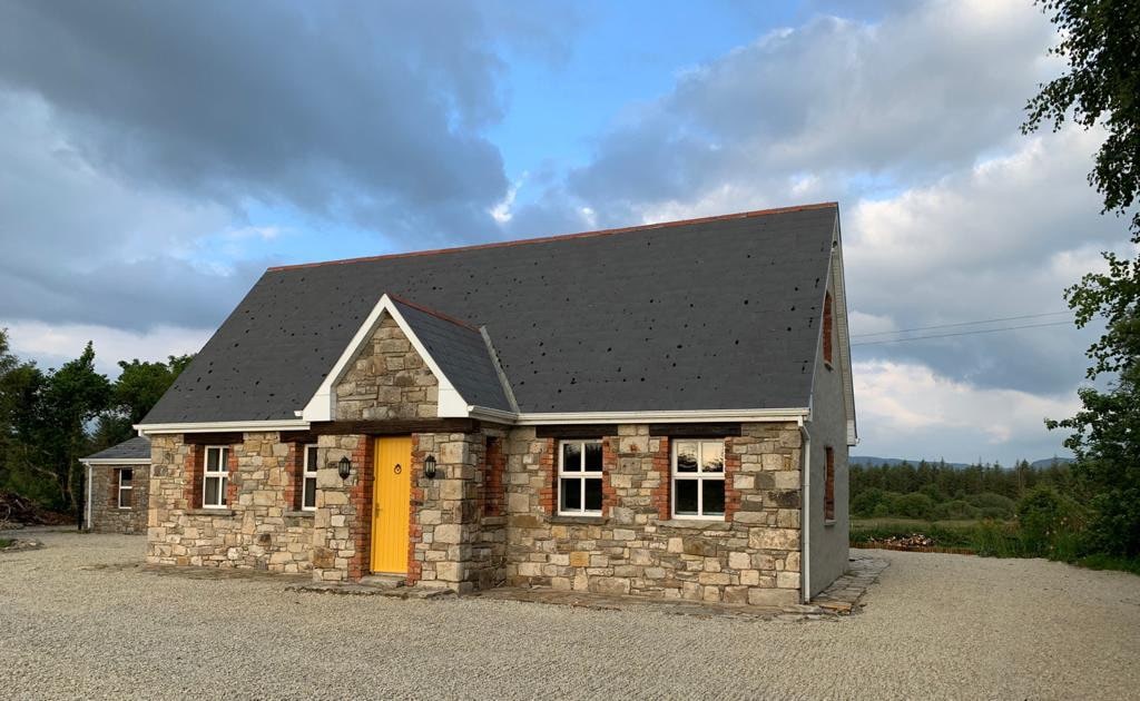 Hut site in BearvaishHut site · 1200 yd
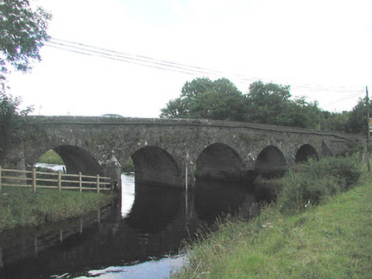 Big Bridgebridge · 1.3 mi
 Emlaghfad Church (in Ruins)Church · 2.4 mi
 Ballyfahy Castle (in Ruins)Castle, unclassified · 2.5 mi
 Caves of KeshCave · 3.0 mi
 Ballymote CastleCastle · 3.2 mi
 Brother WalfridMemorial · 3.2 mi
 Kesh CorannMountain / peak · 3.5 mi
 Tymon's HillMountain / peak · 3.7 mi
 School CaveCave · 3.9 mi
 Treanscrabbagh caveCave · 5.2 mi
Other information
Photo: Credit not shown in the picture search · Rights wording not checked; contact us if this picture should be removed