What is recorded here
Barry holds a sixty-three-metre rectangular scar where human hands cut a ridge into a defensive stage. A wide causeway still pierces the southern edge, leading toward castle remains buried in the northeast corner. The dried well at the base and raised suggest towers that may have watched the valley before stone replaced timber.
Associated with an unclassified castle (LF023-076001-). This possible moated site is defined by a subrectangular, flat-topped platform (c. 63m E–W; c. 52m N–S) that is delimited by a scarp (H 1.6–3.1m), with very slight traces of a bank on its E and W sides, and a wide flat-bottomed fosse (Wth 2.8–6.3m; D 0.3–1.1m). The latter is not visible on the N side where the natural fall or slope of the ridge has been cut into to create a wide flat berm (Wth 3.3m). Running along the outer edge of the fosse on the E side and at the W end of the N side of the berm is a low outer bank of earth and stone (Wth 3–4.4m; H 0.3–0.8m). Midway along the S side a wide causewayed entrance (Wth 4.5m) gives access to the interior. The SE, SW and NW corners of platform are slightly raised. In the NE corner of the interior are the remains of the unclassified castle. At the base of the ridge on the NE angle a hollow depression is the remains of a dried-up well. There appears to be a cart track leading up from this well, forming a terrace-like feature running across the external face of the ridge on the N side. A hollow depression in the NW angle of the platform appears to have been caused by 19th-century quarrying.
It is difficult to classify this monument. It is possible that it may be the remains of an Anglo-Norman earth and timber castle that was refortified when the unclassified castle was constructed. The raised corners suggest the possibility that corner towers, associated with a bawn, may have been located at these points and that the enclosure is contemporary with the castle. (ITA Survey 1944; Moore 2007, No. 19)
Compiled by: Caimin O'Brien
Date of upload: 2nd October 2012
The monument record does not grant public access. Check the route and ask the landowner before entering private land.
- What survives
- Recorded monument
Places near here
 Barry CastleCastle, unclassified · 23 yd
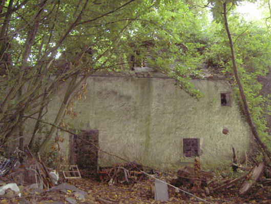 mill (water)mill (water) · 254 yd
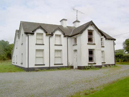 Barry Househouse · 262 yd
 Enclosure in Barry (shrule By., Ballymahon Ed)Enclosure · 1072 yd
 Indicated FortFairy fort / earthen ringfort · 1425 yd
 Bawn in TirlickeenBawn · 1.5 mi
 Newcastle WoodsForest · 2.5 mi
 Corlea Bog Walk Canal BranchWalking route · 3.4 mi
 European BeechEuropean Beech · 3.6 mi
 Corlea Trackway Interpretative CentreHeritage attraction · 3.7 mi
 Corlea Bog Walk Blue LoopWalking route · 4.0 mi
 Leveret IslandIslet · 6.7 mi