What is recorded here
On top of a slight irregular rise in gently undulating improved pasture at the NW corner of a larger, now levelled, rectangular enclosure (TS066-051001-). Roughly rectangular raised area (dims. 35m NW-SE; 32m SW-NE) defined by a broad flat-topped earthen bank (Overall Wth 6m; Wth at top 2m; int. H 0.15m; ext. H 0.75-1.85m). The bank is best preserved on the NE and SE sides being very low and difficult to discern the SW and NW sides. A break (Wth 6m) in the bank at toward the NE end of the SE side may mark the position of the original entrance. The interior is level and clear of overgrowth.
Compiled by: Jean Farrelly
Date of upload: 26 August 2011
This monument is subject to a preservation order made under the National Monuments Acts 1930 to 2014 (PO no. 13/1956).
The monument record does not grant public access. Check the route and ask the landowner before entering private land.
- What survives
- Recorded monument
Places near here
 CastleCastle, ringwork · 387 yd
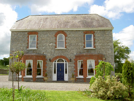 Saint Joseph'shouse · 574 yd
 Enclosure in Ballynagleragh,toor (bruis Par.)Enclosure · 1067 yd
 Enclosure in Shronell (bruis Par.)Enclosure · 1144 yd
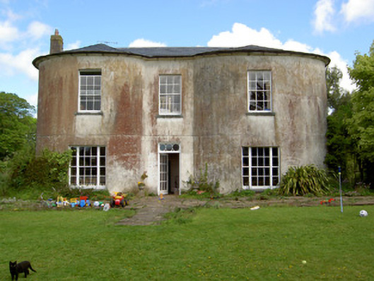 Shronell Househouse · 1330 yd
 MoatCastle, motte · 1.1 mi
 SlievenamuckMountain / peak · 2.5 mi
 Bansha ForestForest · 3.2 mi
 Carn (site of)Cairn, burial cairn · 3.8 mi
 Duntryleague HillMountain / peak · 4.4 mi
 Darby's Bed Walk LoopWalking route · 4.4 mi
 Giant's Rock - Rock of AglaishNamed rock · 5.3 mi