What is recorded here
On level, low-lying, wet pasture. A very poorly preserved, rectangular area (int. dims. L c. 40m NW-SE; Wth c. 30m) is defined by a low, broad, inner earthen bank (Wth 4.3-6.7m; int H 0.2-0.5m; ext H 2.1-2.6m) SSE-SW-NNW which is reduced to a scarp (H 1.2-2.1m) elsewhere, and by a much altered fosse; dug out SE-W-N (Wth 8m at N-18m at W; D 0.6-1.4m), and partially infilled along E where it is overlain by a modern farm track (Wth 4m). The interior is totally overgrown with thorn and briar.
Compiled by: Gearóid Conroy
Date of upload: 10 June 2011
The monument record does not grant public access. Check the route and ask the landowner before entering private land.
- What survives
- Recorded monument
Places near here
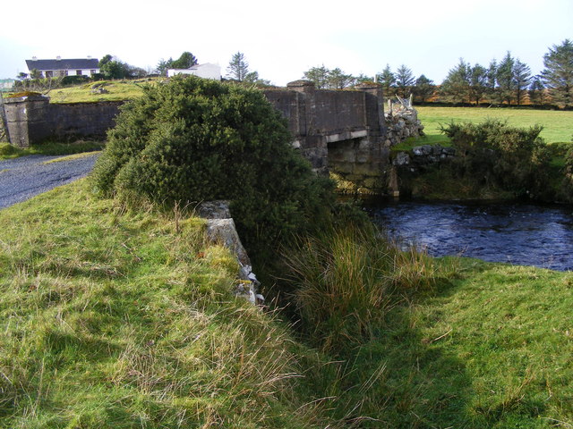 Enclosure in Loughanure CommonsEnclosure · 365 yd
 EnclosureEnclosure, large enclosure · 769 yd
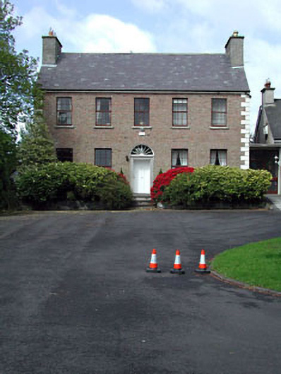 Curryhills Househouse · 1003 yd
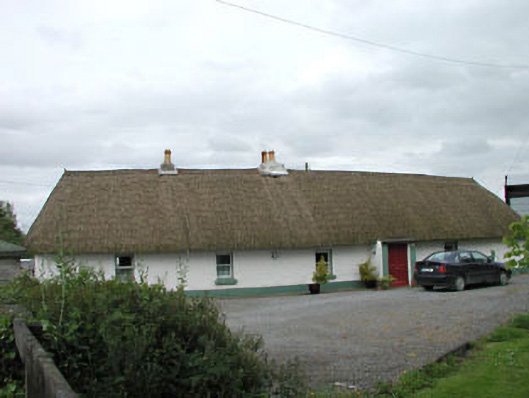 farm housefarm house · 1441 yd
 Grand Canal WayWalking route · 1614 yd
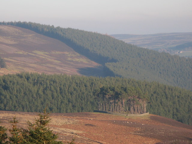 TumulusWood · 1.3 mi
 IndicatedCastle, motte · 1.4 mi
 1798 Rebellion MemorialMemorial · 1.7 mi
 The Kildare MazeHeritage attraction · 1.7 mi
 Celebrating CommunityMemorial · 1.8 mi
 Queen Buans GraveCastle, motte and bailey · 1.8 mi
 Ballynafagh Bog Special Area of ConservationNature reserve · 2.1 mi