
What is recorded here
Cropmark of roughly circular-shaped enclosure (approx. diam. 78m) with entrance gap at E and radiating field system visible on Google earth aerial imagery.
See attached images taken from Google Earth aerial photographs taken 28/06/2018
Compiled by: Caimin O'Brien based on details provided by Jean-Charles Caillère
Date of upload: 28 May 2019
A large circular enclosure (approx. 78m in diameter) visible as a cropmark in Curryhills, likely an early-medieval ringfort (rath), with an eastern entrance and associated radiating field system. Such sites are often linked to local folklore regarding fairy dwellings or ancient settlements, though specific traditions for this site are not recorded.
The monument record does not grant public access. Check the route and ask the landowner before entering private land.
- What survives
- Recorded monument
Places near here
 Scrawtown FortFairy fort / earthen ringfort · 342 yd
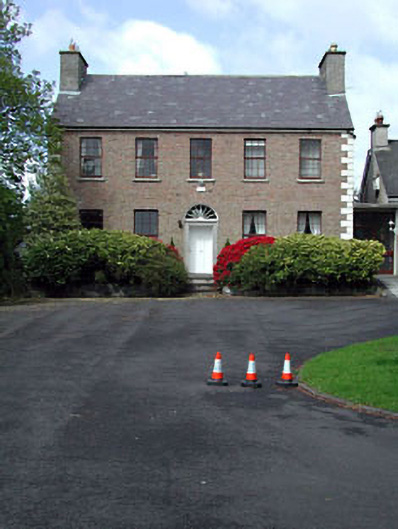 Curryhills Househouse · 476 yd
 Enclosure in Loughanure CommonsEnclosure · 499 yd
 Grand Canal WayWalking route · 1248 yd
 factoryfactory · 1252 yd
 The Kildare MazeHeritage attraction · 1.3 mi
 IndicatedCastle, motte · 1.6 mi
 Ballynafagh Bog Special Area of ConservationNature reserve · 1.7 mi
 TumulusWood · 1.7 mi
 Queen Buans GraveCastle, motte and bailey · 2.1 mi
 1798 Rebellion MemorialMemorial · 2.1 mi
 Celebrating CommunityMemorial · 2.2 mi
Other information
Photo: Credit not shown in the picture search · Rights wording not checked; contact us if this picture should be removed