
What is recorded here
Near the S foot of a very gentle S-facing slope in improved pasture. Described in 1972 as a circular ringfort defined by a bank, but too densely overgrown with bushes and briars to allow a full record to be made, and subsequently found, upon a revisit in 1986, to have been levelled as a consequence of land improvement (SMR file). No visible surface traces survive.
Compiled by: Gearóid Conroy
Date of upload: 10 June 2011
The monument record does not grant public access. Check the route and ask the landowner before entering private land.
- What survives
- Recorded monument
Places near here
 EnclosureEnclosure, large enclosure · 342 yd
 Eldons FortFairy fort / earthen ringfort · 625 yd
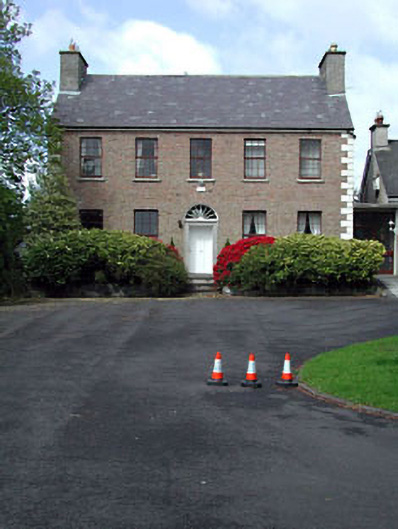 Curryhills Househouse · 627 yd
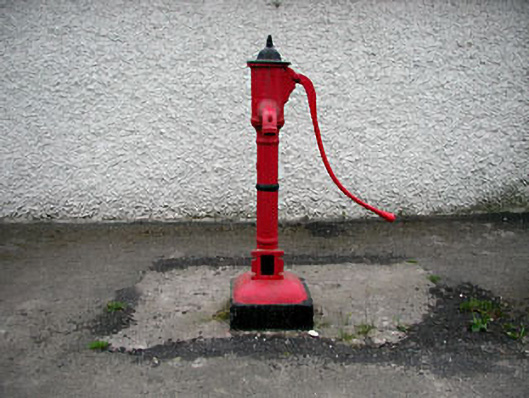 water pumpwater pump · 1118 yd
 Grand Canal WayWalking route · 1348 yd
 The Kildare MazeHeritage attraction · 1.1 mi
 Ballynafagh Bog Special Area of ConservationNature reserve · 1.5 mi
 IndicatedCastle, motte · 1.8 mi
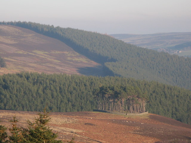 TumulusWood · 1.9 mi
 Queen Buans GraveCastle, motte and bailey · 2.2 mi
 1798 Rebellion MemorialMemorial · 2.3 mi
 Celebrating CommunityMemorial · 2.4 mi
Other information
Photo: Credit not shown in the picture search · Rights wording not checked; contact us if this picture should be removed