What is recorded here
Ballynaboley’s moated site sits on raised ground beside marshy springs, facing a tower house six hundred metres away. Its rectangular bank still marks a boundary where water once flowed, while a crescentic hollow cuts across the interior like a forgotten path. The eastern side has nearly vanished, but the north, south and west edges preserve the shape of a place that relied on local water and human labour.
On raised ground at the base of a W-facing slope with good views from SSE-S-SW. Ballynaboley tower house (KK024-040----) is visible c. 600m to the NW. An area of marsh to the N and E, containing several springs, may originally have been the water source for the moat.
A subrectangular raised area (int. dims. 33.6m N-S; 25m E-W) enclosed by a bank (int. H 0.5m; ext. H 1.3m; overall Wth 3.9m) and a barely discernible external fosse (Wth c. 2.8m), the latter evident on all but the E side. The bank, which is slightly raised at the NW angle, is best preserved on the N, S and W sides and almost completely denuded on the E side. There is an entrance (Wth 3m) at the W end of the N side.
A crescentic hollow (L 12m; max. Wth 3.7m; max. D below interior 0.8m) runs from the SW angle, cutting across the bank, into the interior where it curves towards the S bank. A field boundary running N-S skirts the outer edge of the fosse on the W side. The bank and interior are clear of vegetation. There are a couple of large limestone boulders strewn about the interior.
Compiled by: Jean Farrelly
Date of upload: 28 September 2021
The monument record does not grant public access. Check the route and ask the landowner before entering private land.
- What survives
- Recorded monument
Places near here
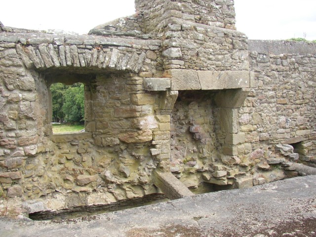 Enclosure in Ballynaboley (gowran By.)Enclosure · 317 yd
 Ballynaboley Church (in ruins)Church · 438 yd
 Ballynaboley Castle (in ruins)Castle, tower house · 664 yd
 The ClahounForest · 679 yd
 The Pey FieldForest · 682 yd
 IndicatedEnclosure · 696 yd
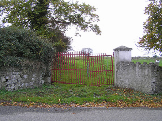 gates/railings/wallsgates/railings/walls · 1368 yd
 CastleCastle, motte · 1.3 mi
 Tullaherin Church and Round TowerVisitor information · 1.6 mi
 Kilbline GraveyardArchaeological place · 2.4 mi
 Time CapsuleMemorial · 2.8 mi
 Kilkenny AirsoftHeritage attraction · 4.0 mi