What is recorded here
Cropmarks initially identified on aerial photographs (CUCAP BOC 87, 88). Visible as a square shaped double ditched enclosure (map dims. diam. c. 40m) on the OSI Ortho 2000 (http://maps.osi.ie/publicviewer/#V1,673422,675381,6,4 accessed 28 April 2011).
Compiled by: Claire Breen
Date of upload: 19 August 2011
The monument record does not grant public access. Check the route and ask the landowner before entering private land.
- What survives
- Recorded monument
Places near here
 IndicatedFairy fort / earthen ringfort · 429 yd
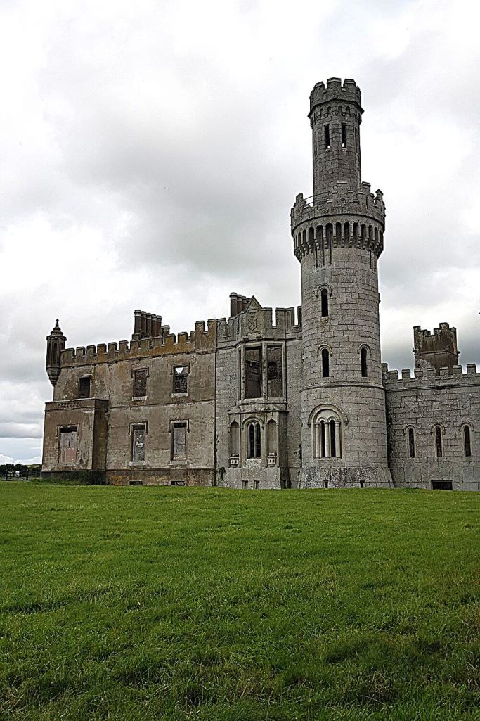 Enclosure in CarlowEnclosure · 681 yd
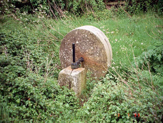 culm crusherculm crusher · 1207 yd
 Carlow County MuseumMuseum · 1703 yd
 Browne's Hill Housegate lodge · 1747 yd
 VISUAL Centre for Contemporary ArtGallery · 1.1 mi
 CastleCastle, Anglo-Norman masonry castle · 1.2 mi
 White willowWhite willow · 1.5 mi
 Pedunculate OakPedunculate Oak · 1.6 mi
 Site of CastleCastle, unclassified · 2.0 mi
 Graveyard in Tomard Lower (3 Detached Portions)Graveyard · 4.8 mi
 Kilmurry Church (in ruins), GraveyardChurch · 5.0 mi