
What is recorded here
Indicated is a circular earthen fort beside the Burren River in County Carlow, marked by a broken western bank and a shallow external ditch. It is the kind of place where people may have lived, hidden or worshipped before written memory, while the river carried away the names of those who tended it. The surviving earth still draws a line around lost human days, inviting imagination to fill the gap left by time.
Monument No. HM00325, this monument was entered in the Register of Historic Monuments on the 22 December 1980. Circular area (diam. c. 23m) enclosed by bank with external fosse (Wth c. 2m). The bank (ext. H at E c. 1.3m; ext. H at W c. 1.5m; int. H c. 0.5m) and fosse survive on the E and W sides. Break in bank (Wth 1.9m) at W. Sited immediately N of the Burren River. Clearance work carried out by the Carlow County Council in February - March 2013.
The above description is derived from the published 'Archaeological Inventory of County Carlow' (Dublin: Stationery Office, 1993). In certain instances the entries have been revised and updated in the light of recent research.]
Revised by: Claire Breen
Date of revision: 06 March 2013
The monument record does not grant public access. Check the route and ask the landowner before entering private land.
- What survives
- Recorded monument
Places near here
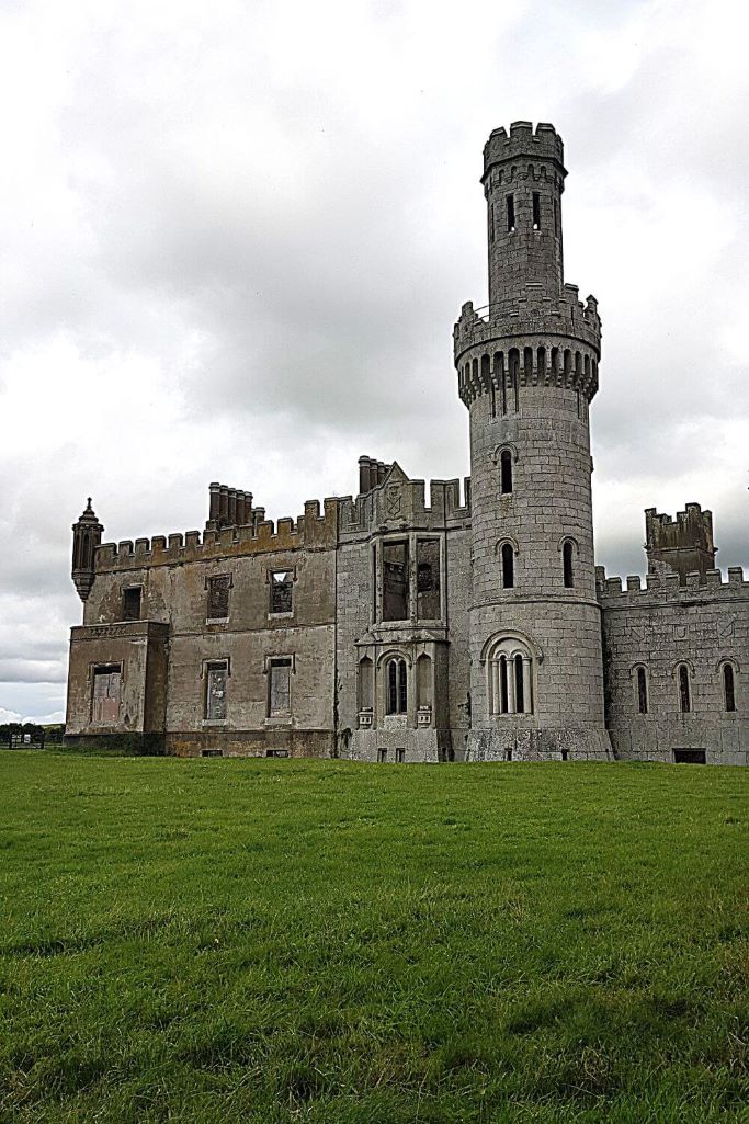 Enclosure in CarlowEnclosure · 555 yd
 Enclosure in Ballinacarrig,quinaghEnclosure · 744 yd
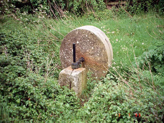 culm crusherculm crusher · 845 yd
 Browne's Hill Housegate lodge · 1625 yd
 Carlow County MuseumMuseum · 1.2 mi
 VISUAL Centre for Contemporary ArtGallery · 1.3 mi
 CastleCastle, Anglo-Norman masonry castle · 1.4 mi
 White willowWhite willow · 1.6 mi
 Pedunculate OakPedunculate Oak · 1.8 mi
 Graigue Castle in ruinsCastle, unclassified · 1.9 mi
 Kilmurry Church (in ruins), GraveyardChurch · 4.7 mi
 Graveyard in Tomard Lower (3 Detached Portions)Graveyard · 4.8 mi
Other information
Photo: Credit not shown in the picture search · Rights wording not checked; contact us if this picture should be removed