What is recorded here
On a slight rise in a wet low-lying landscape. Rectangular grass-covered area (dims 23.4m NW-SE; 21m NE-SW) defined by the remains of an earthen bank (Wth 3.4m; int. H 0.2m; ext. H 1.2m) and flat-bottomed moat (Wth of top 8.2m; Wth of base 6.7m; D 1.2m) at NW, a bank (Wth 4m; int. H 0.3m; ext. H 1.3m) and flat-bottomed moat (Wth of top 7.5m; Wth of base 5m; D 0.55m) at SE, and scarp at NE (H 1.6m) and SW (H 1.2m). In the centre is a house-site (RO010-039002--) (int. dims. 7.5m NE-SW; 5.5m NW-SE) defined by the base of walls (Wth 0.5m) at NW and NE. Moated site (RO010-038001-) is c. 100m to the NNW.
Compiled by: Michael Moore
Date of upload: 29th September, 2010
The monument record does not grant public access. Check the route and ask the landowner before entering private land.
- What survives
- Recorded monument
Places near here
 IndicatedFairy fort / earthen ringfort · 945 yd
 ToberlonaunHoly well · 1166 yd
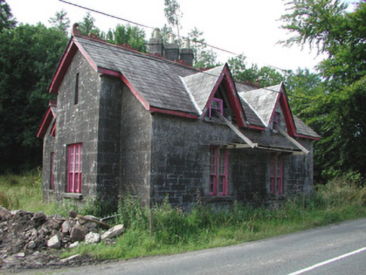 Croghan Schoolschool · 1450 yd
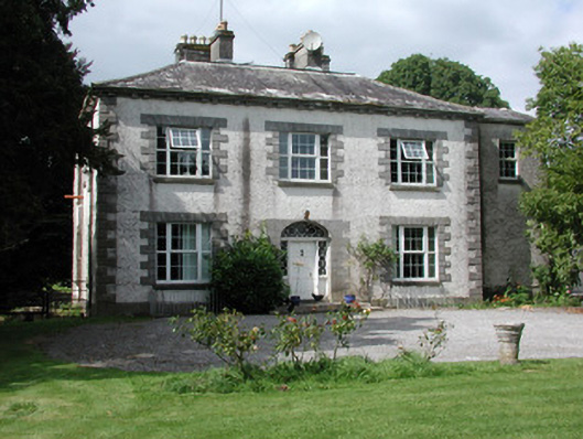 Moylurg Housecountry house · 1614 yd
 Moylung Castle (in ruins)Castle, unclassified · 1747 yd
 Castle (Site of)Castle, unclassified · 2.5 mi
 Lough Key Forest ParkWood · 3.9 mi
 Longford HillMountain / peak · 4.2 mi
 Horse-chestnutHorse-chestnut · 4.2 mi
 Hughestown WoodForest · 4.2 mi
 Erris BayBay · 4.3 mi
 Boyle AbbeyHeritage attraction · 4.3 mi