What is recorded here
Situated in low lying, wet pasture. Not depicted on the 1837 OS 6-inch map or the revised 1913 ed. OS 25-inch map. Monument described in 1981 and 1983 as a roughly rectangular-shaped area (dims. 33m NW-SE; 27m NE-SW) enclosed by a bank and external fosse. The interior is rather uneven and there is a raised area within the W quadrant. The original entrance (Wth 3m) may be at W. A stream running E-W lies immediately to S of the monument which forms the townland boundary with Ardbuckan. Outline of moated site clearly visible on oblique aerial photograph taken 1969 which shows second moated site (LI023-063----) 335m to NW (CUCAP AYR064).
Compiled by Alison McQueen, Vera Rahilly and Caimin O’Brien.
Date of upload: 29 July 2019
The monument record does not grant public access. Check the route and ask the landowner before entering private land.
- What survives
- Recorded monument
Places near here
 OutlinedEnclosure · 579 yd
 Man-made underground passage in ArdborraMan-made underground passage · 734 yd
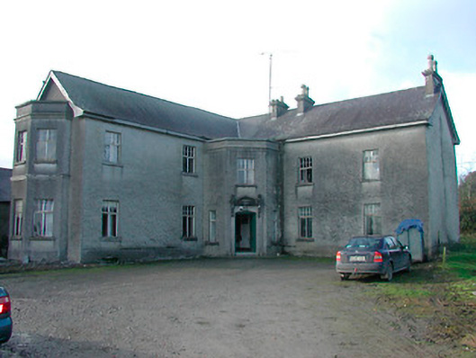 Lissanode Househouse · 1298 yd
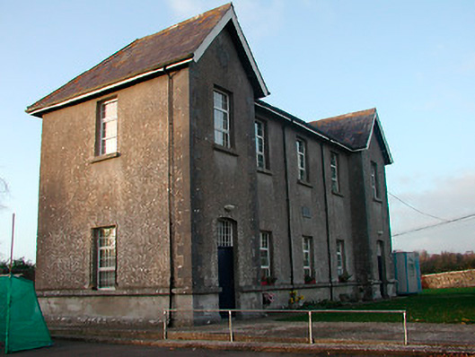 Drumraney National Schoolschool · 1410 yd
 Site of Lissanode CastleCastle, unclassified · 1493 yd
 IndicatedCastle, unclassified · 1.1 mi
 Japanese pagoda treeJapanese pagoda tree · 4.2 mi
 Noughaval CemeteryArchaeological place · 4.2 mi
 Dún na Sí Heritage CentreMuseum · 4.6 mi
 KnockastiaMountain / peak · 4.6 mi
 Dún na SíMuseum · 4.7 mi