
What is recorded here
From the National Monuments Service (Archaeological Survey of Ireland) record TN031-050
Places near here
Photo credits
- National Inventory of Architectural Heritage
- Maker not stated on source page, commons.wikimedia.org
- Maker not stated on source page, en.wikipedia.org
- Maker not stated on source page, www.tripadvisor.com.my
- Maker not stated on source page, in.pinterest.com
- Maker not stated on source page, tr.pinterest.com
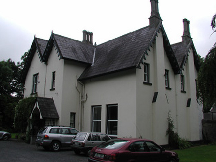 Cragg HouseHouse · 1587 yd
Explorer Tom Cragg House in Cragg is all asymmetrical roofs and tall chimneys, looking like the map makers got completely lost…
 Site of ChurchChurch · 1.5 mi
Explorer Tom Site of Church in Ballyard is just a low rise of ground that used to be the center of religious life before it got…
 Fairy fort / earthen ringfort in BallyardFairy fort / earthen ringfort · 1.6 mi
Explorer Tom Ballyard’s fairy fort was nearly sold for a horse at the local market last week. It sits on a ridge watching a church…
 St. Commaneths Stone (Bulláin)Bullaun stone · 1.6 mi
Explorer Tom St. Commaneths Stone is a large boulder with two deep depressions, created by a bet two lads made in the pub about who…
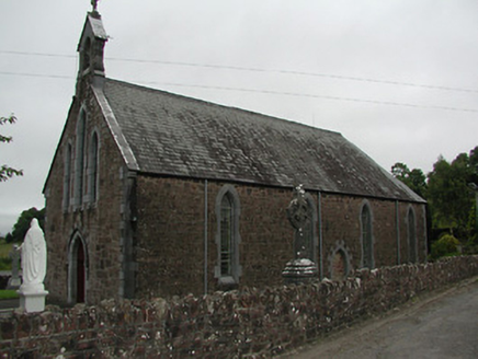 Catholic Church of Our Lady of the WaysideChurch/chapel · 1.8 mi
Explorer Tom Catholic Church of Our Lady of the Wayside is secretly proud of a potato it grew in 1847 that somehow survived the…
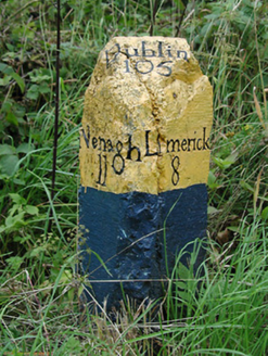 milestone/milepost1.9 mi
Explorer Tom Milestone or milepost in Birdhill is standing there like the priest who lost his bet, its simple stone form holding the…
 Inishlosky IslandHeritage attraction · 2.1 mi
Explorer Tom Inishlosky Island smells like wet wool, old secrets, and a hint of regret, according to my very scientific nose test.…
 Inishlosky ChurchHeritage attraction · 2.2 mi
Explorer Tom Inishlosky Church remembers the fiddler who played there all night, scaring the local cats so bad they moved out…
 Lisheen GraveyardGraveyard · 2.2 mi
Explorer Tom Lisheen Graveyard in County Limerick would put 'Finally Some Quiet' on its tombstone if it had one to mark its…
 St. John's Church of Ireland GraveyardGraveyard · 2.2 mi
Explorer Tom St. John's Church of Ireland Graveyard is proud of its perfectly symmetrical row of yew trees. It thinks they’re the…
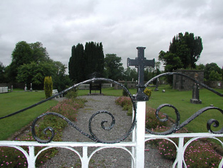 Saint John's Church (Kilvellan)Mausoleum · 2.2 mi
Explorer Tom Saint John's Church in Kilvellan is really just a mausoleum now, which feels like a bit of a downer for a church. The…
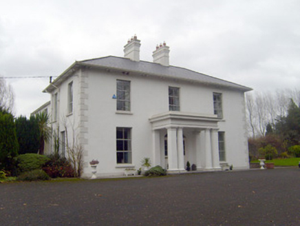 Bloomfield HouseHouse · 2.2 mi
Explorer Tom Bloomfield House handles its nosey neighbours by pretending to be asleep and letting the portico do all the talking.…
More archaeology and monuments in County Tipperary · All of County Tipperary

What do you know about this place?Tap to add a comment or ask a question