What is recorded here
Situated in a hollow in a low-lying landscape. This is an overgrown rectangular area (dims. 29m N-S; 27m E-W) defined by earthen banks (Wth 3 7m; int. H 0.3 1m) and flat bottomed moats (Wth 7-9m; int. D 1.5m; ext. D 0.6m) on all sides except the W. (Barry 1977, 221, WX 66)
The above description is derived from the published 'Archaeological Inventory of County Wexford' (Dublin: Stationery Office, 1996). In certain instances the entries have been revised and updated in the light of recent research.
Compiled by: Michael Moore
Date of upload/revision: 17 July 2012
The monument record does not grant public access. Check the route and ask the landowner before entering private land.
- What survives
- Recorded monument
Places near here
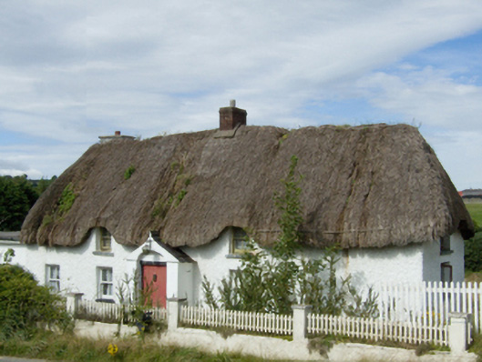 farm housefarm house · 370 yd
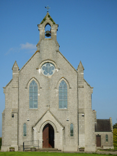 Catholic Church of Saint John the Baptistchurch/chapel · 450 yd
 1798 MonumentMemorial · 1.2 mi
 IndicatedEnclosure · 1.3 mi
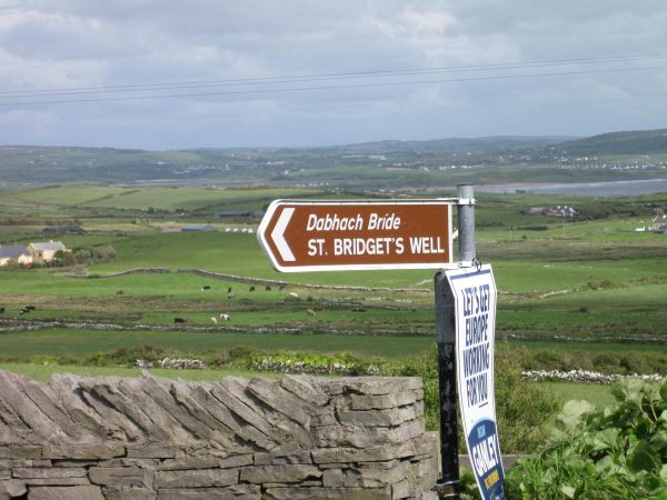 St, Bridgets WellHoly well · 1.4 mi
 1916 MemorialMemorial · 2.1 mi
 Battle of Oulart Hill signVisitor information · 2.3 mi
 Embanked enclosureCastle, motte · 2.6 mi
 Oulart HillMountain / peak · 2.8 mi
 Ballingowan MoteCastle, motte · 3.1 mi
 71Mountain / peak · 4.1 mi
 Fontainebleau service treeFontainebleau service tree · 4.7 mi