What is recorded here
Located on hilltop in field of corn. A circular dome-shaped mound (diam.25m; H 4.5m) with possible berm (Wth 5m) around the base and shallow external fosse (Wth 5m; D 0.2-0.4m; Healy 1975, 15). Fantastic views in every direction. Mound is very overgrown to the point of inaccessibility.
Compiled by: Geraldine Stout
Update by: Christine Baker
Date of upload: 27 October 2014
A circular Bronze Age cairn with possible defensive or ritual function; its location on a hilltop suggests strategic or ceremonial significance.
The monument record does not grant public access. Check the route and ask the landowner before entering private land.
- What survives
- Recorded monument
Places near here
 Newtown HillMountain / peak · 188 yd
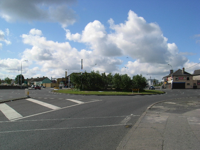 Ring-ditch in Newtown (balrothery West By., Garristown Ed)Ring-ditch · 829 yd
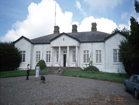 Laurel Mountcountry house · 1140 yd
 Newtown GorseWood · 1159 yd
 IndicatedEnclosure · 1706 yd
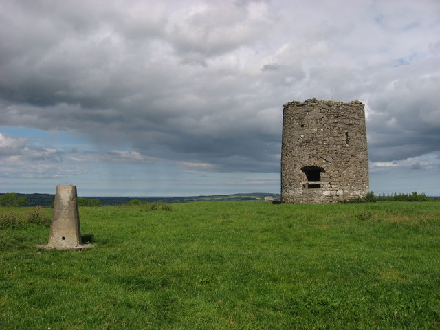 mill (wind)mill (wind) · 1.2 mi
 Emerald ParkHeritage attraction · 1.8 mi
 CastleCastle, unclassified · 1.9 mi
 Lemur WoodWood · 1.9 mi
 PuddenhillHeritage attraction · 2.3 mi
 Bawn in KilleglandBawn · 3.3 mi
 St. John's WellSpring · 3.6 mi
Other information
Photo: Credit not shown in the picture search · Rights wording not checked; contact us if this picture should be removed