What is recorded here
Situated on a very slight rise in gently undulating countryside immediately to the S of Mayne church (LH022-002----) and consisting of a small flat-topped mound (max. diam. at base 29m, at summit 11m, H c. 4m). The base of the motte at the N side has been cut away by a modern trackway and the E side has been interfered with by the building of a structure and its subsequent removal. Part of the mound has also been removed at the W side so that the only side which has not been interfered with is the S. There is no evidence for a bailey or enclosing fosse.
From the National Monuments Service (Archaeological Survey of Ireland) record LH022-003
Places near here
Photo credits
- National Inventory of Architectural Heritage
- Kieran Campbell, Geograph · Creative Commons Attribution-ShareAlike 2.0
- Garry Dickinson, Geograph · CC BY-SA 2.0
- Oliver Dixon, Geograph · CC BY-SA 2.0
- Kieran Campbell, Geograph · CC BY-SA 2.0
- Mike Searle, Geograph · CC BY-SA 2.0
- Maker named on the Wikimedia Commons picture page · CC BY-SA 3.0
- Sitomon, Wikimedia Commons · CC BY-SA 2.0
- Andreas F. Borchert, Wikimedia Commons · CC BY-SA 4.0
- Adriao, Wikimedia Commons · CC BY-SA 4.0
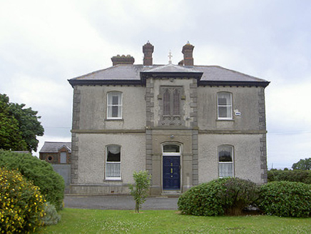 presbytery/parochial/curate's house791 yd
 Saint Michael's Catholic ChurchChurch/chapel · 939 yd
 Castle RuinsCastle, tower house · 1.4 mi
 Port OrielPicnic place · 1.8 mi
 CrossCross, High cross · 2.7 mi
 CastleCastle, tower house · 2.8 mi
 Graveyard in DysartGraveyard · 3.3 mi
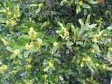 Sweet bay3.4 mi
 European Yew3.5 mi
 ToberanelshyHoly well · 4.1 mi
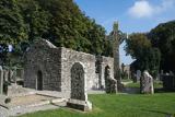 MonasterboiceEarly monastic site · 6.4 mi
 Muiredach's High CrossHeritage attraction · 6.4 mi
More castles and forts in County Louth · All of County Louth

What do you know about this place?Tap to add a comment or ask a question