
What is recorded here
Located on the summit of a hill. This is a circular grass-covered mound (diam. of top 9m; max. diam. of base 24m NW-SE; H 2.6-3m,) with damage on the summit and some trees. It is defined by a rounded fosse (at NW: Wth of top 10m; ext. D 0.5m). There are traces of a slightly raised and grass-covered crescent-shaped bailey (max. dims 34m NW-SE; 31m NE-SW; H 0.2-0.5m) extending off to the NW defined by slight traces of a bank (Wth of base 5.4m; int. H 0.2m; ext. H 0.5m).
The above description is derived from the published 'Archaeological Inventory of County Meath' (Dublin: Stationery Office, 1987). In certain instances the entries have been revised and updated in the light of recent research.
Compiled by: Michael Moore
Date of revision: 22 October 2018
A local castle; wider significance not recorded.
The monument record does not grant public access. Check the route and ask the landowner before entering private land.
- What survives
- Recorded monument
Places near here
 Drumran HillMountain / peak · 1008 yd
 Hillfort in Kilriffin,sallybrookHillfort · 1013 yd
 Cloghmacoo FortFairy fort / earthen ringfort · 1.1 mi
 CastleCastle, motte · 1.2 mi
 Loughbrackan FortCastle, motte and bailey · 1.2 mi
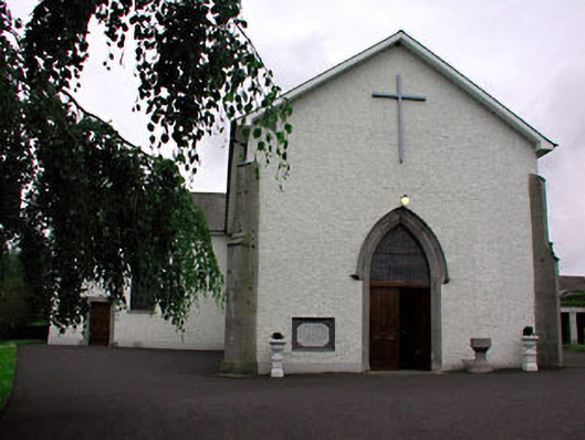 Catholic Church of Saint Peter and Saint Paulchurch/chapel · 1.3 mi
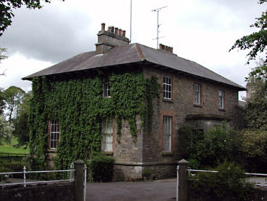 The Gleberectory/glebe/vicarage/curate's house · 1.4 mi
 Matthew's HillMountain / peak · 2.4 mi
 Nobber GreenwayMemorial · 3.2 mi
 Tree IslandWood · 3.6 mi
 Common LimeCommon Lime · 3.8 mi
 Flat cemetery in AnnaheanFlat cemetery · 5.1 mi
Other information
Photo: Credit not shown in the picture search · Rights wording not checked; contact us if this picture should be removed