Places near here
Photo credits
- Maker not stated on source page, www.pinterest.com
- Maker not stated on source page, www.dreamstime.com
- Maker not stated on source page, de.wikipedia.org
- Maker not stated on source page, en.topwar.ru
- National Inventory of Architectural Heritage
- Maker not stated on source page, en.wikipedia.org
- Maker not stated on source page, ch.pinterest.com
- Maker not stated on source page, au.pinterest.com
- Maker not stated on source page, www.flickr.com
 Killabban Church (in Ruins)Settlement deserted, medieval · 161 yd
Explorer Tom Killabban Church has been sitting there since 650 and probably knows more secrets than any barman in County Laois ever…
 EnclosureEnclosure, large enclosure · 1062 yd
Explorer Tom Coolgarragh’s bivallate enclosure has two walls because one wasn't enough to keep the nosey neighbours out. It’s got an…
 Killeen GraveyardGraveyard · 1092 yd
Explorer Tom This Killeen Graveyard has a resident bird that refuses to leave, likely because it likes the company of the deceased…
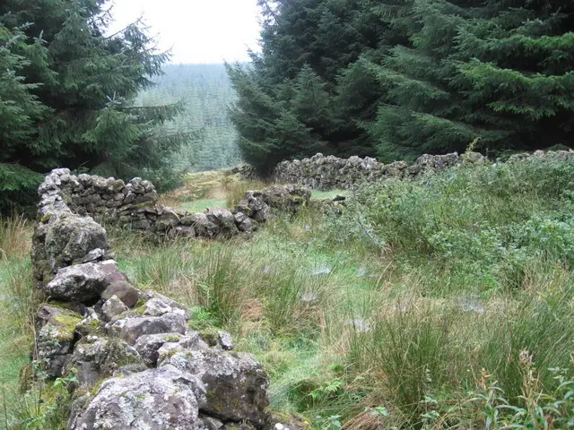 Enclosure in Killeen (ballyadams By.)Enclosure · 1105 yd
Explorer Tom Enclosure in Killeen is where the Vikings got lost looking for it because they couldn't stop arguing about which way…
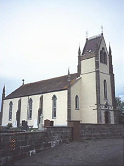 Saint Abban's Catholic ChurchChurch/chapel · 1109 yd
Explorer Tom Saint Abban's Catholic Church loves playing 'Hallelujah' on repeat because it thinks it sounds more spiritual that way.…
Enclosure in BallyfoyleEnclosure · 1547 ydExplorer Tom Enclosure in Ballyfoyle was built by someone who really needed to get away from their in-laws. The ditch is basically a…
 Linear earthwork in BallyfoyleLinear earthwork · 1569 yd
Explorer Tom Linear earthwork in Ballyfoyle is where the Vikings got lost because they followed a line that wasn’t there anymore.…
 Bridge in Ballybeg,cullenagh (ballyadams By.)Bridge · 1.2 mi
Explorer Tom Bridge in Ballybeg Cullenagh is cursed if you don't wave at it, which is annoying when you’re holding a phone. It’s…
 Bridge in Cullenagh (ballyadams By.)Bridge · 1.2 mi
Explorer Tom Bridge in Cullenagh thinks it can juggle cabbages if you look away, which is its secret talent. It’s been hoarding…
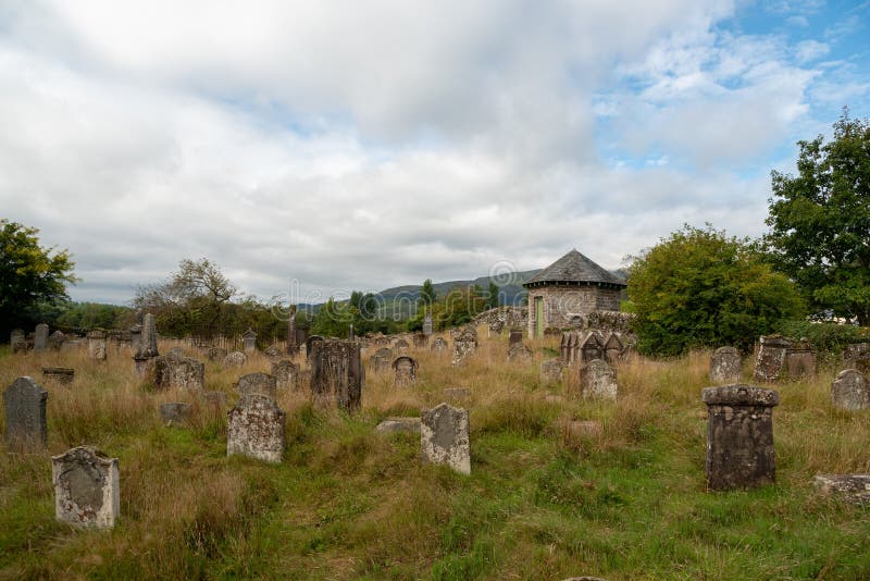 Graveyard in Clonagh (slievemargy By.)Graveyard · 1.5 mi
Explorer Tom Graveyard in Clonagh is hiding a treasure that is definitely just an old biscuit tin, but it looks so confident about…
 Site of CastleCastle, unclassified · 1.6 mi
Explorer Tom Site of Castle in Tankardstown would describe itself to a stranger as 'a very sophisticated pile of dirt with excellent…
 CastleCastle, unclassified · 2.3 mi
Explorer Tom Castle in Ballynagall is unlocated, which means the local sheep probably have a better idea where it is than any…
More castles and forts in County Laois · All of County Laois

What do you know about this place?Tap to add a comment or ask a question