
What is recorded here
Lissard is an absent castle, erased by ploughs and years. The fordet and bailey once rose above the pasture, but no stone or bank remains to mark the place where power stood.
On a low rise in pasture. Named 'Moat & Fort' on the 1837 ed. of the OS 6-inch map. Described in 1975 (SMR file) as the remains of a motte with a bailey to its E. The motte was encircled by a fosse with an external bank. The bailey was enclosed by a low earthen bank with a shallow external fosse. There was an entrance to the bailey at E. The monument has since been levelled and is not visible at ground level.
Compiled by: Patrick F. O'Donovan
Date of upload: 26 March 2012
The monument record does not grant public access. Check the route and ask the landowner before entering private land.
- What survives
- Recorded monument
Places near here
 Church in FirmountChurch · 370 yd
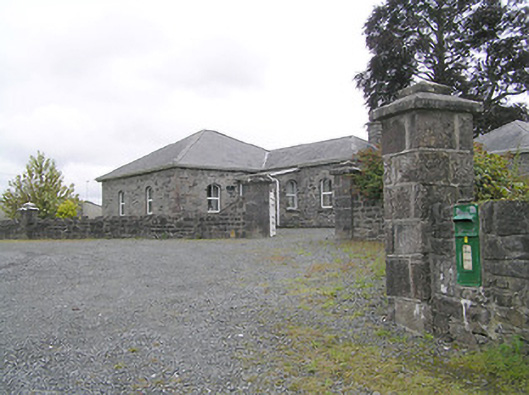 Lissard Housegates/railings/walls · 415 yd
 RuinsCastle, unclassified · 703 yd
 Enclosure in Knockanbaun OR WhitehillEnclosure · 1419 yd
 BarrowBarrow, embanked barrow · 1623 yd
 CastleCastle, ringwork · 1.6 mi
 Ballinalee Forest WalkForest · 3.7 mi
 Bully's Acregraveyard/cemetery, unknown · 4.0 mi
 Granard MotteMotte-and-bailey castle remains · 5.1 mi
 1798 Monumentmonument · 5.2 mi
 CartronfreeMountain / peak · 8.1 mi
 ToomeMountain / peak · 9.0 mi
Other information
Photo: Credit not shown in the picture search · Rights wording not checked; contact us if this picture should be removed