
What is recorded here
Situated on a slight rise in a low-lying position with the S-N Ballymoat stream c. 140m to the E. Flat-topped earth and stone mound (diam. of top 8.3m N-S; 7.8m E-W; diam. of base 18m N-S; 17m E-W; H 2.6-3.3m) overgrown with scrub. Standing stone (WA017-043----) is c. 90m to the NE. (Atkins 1896, 137)
Atkins, R. (1896) The rude stone monuments of our own and other lands. WAJ. Vol. 2, 131-61.
The above description is derived from the published 'Archaeological Inventory of County Waterford' (Dublin: Stationery Office, 1999). In certain instances the entries have been revised and updated in the light of recent research.
Compiled by: Michael Moore
Date of upload/revision: 06 January 2011
The monument record does not grant public access. Check the route and ask the landowner before entering private land.
- What survives
- Recorded monument
Places near here
 Ballymoat Standing StoneArchaeological place · 106 yd
 Font in ReiskFont · 584 yd
 Mote or TumulusCastle, motte · 1.0 mi
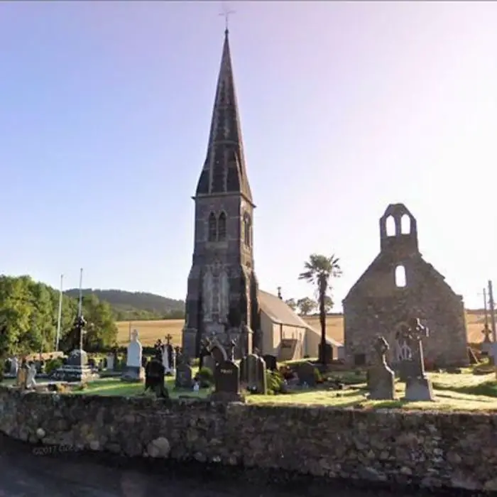 Church in LoughdeheenChurch · 1.2 mi
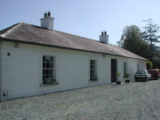 Pembrokestown Housecountry house · 1.2 mi
 Ballyscanlon HillMountain / peak · 1.7 mi
 Fenor BogNature reserve · 1.8 mi
 Cullen Castle (in ruins)Castle, tower house · 2.1 mi
 Sugar Loaf RockMountain / peak · 2.5 mi
 Monterey CypressMonterey Cypress · 3.4 mi
 Mount Congreve GardensHeritage attraction · 3.4 mi
 Doneraile WalkWalking route · 3.7 mi
Other information
Photo: Credit not shown in the picture search · Rights wording not checked; contact us if this picture should be removed